South Bradford &
Goundry Hill
State Forests
![]()
| CNY Hiking HOME PAGE | Hiking in Schuyler County | FLT Central Section | North Country Trail in WNY |
|
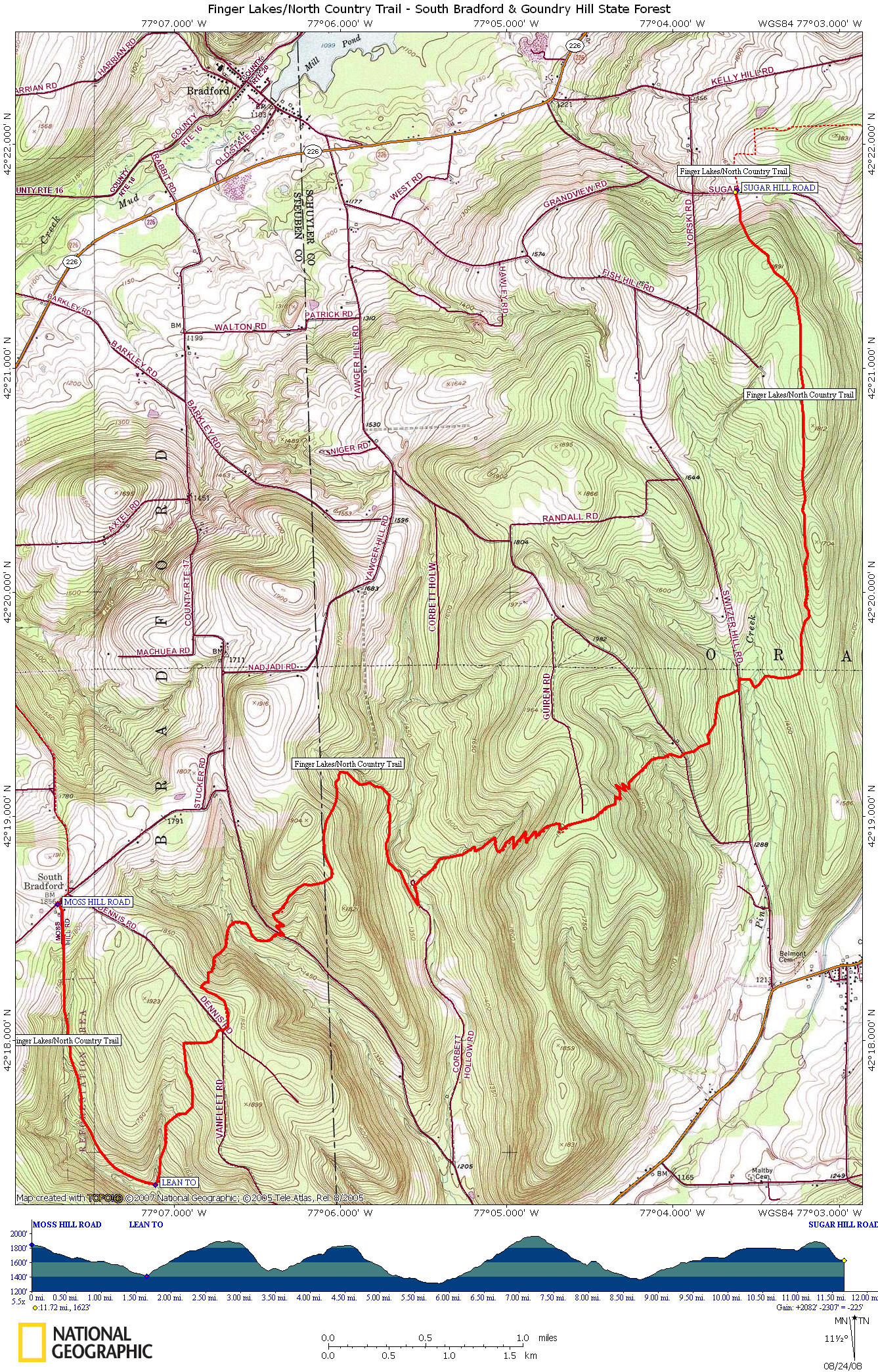
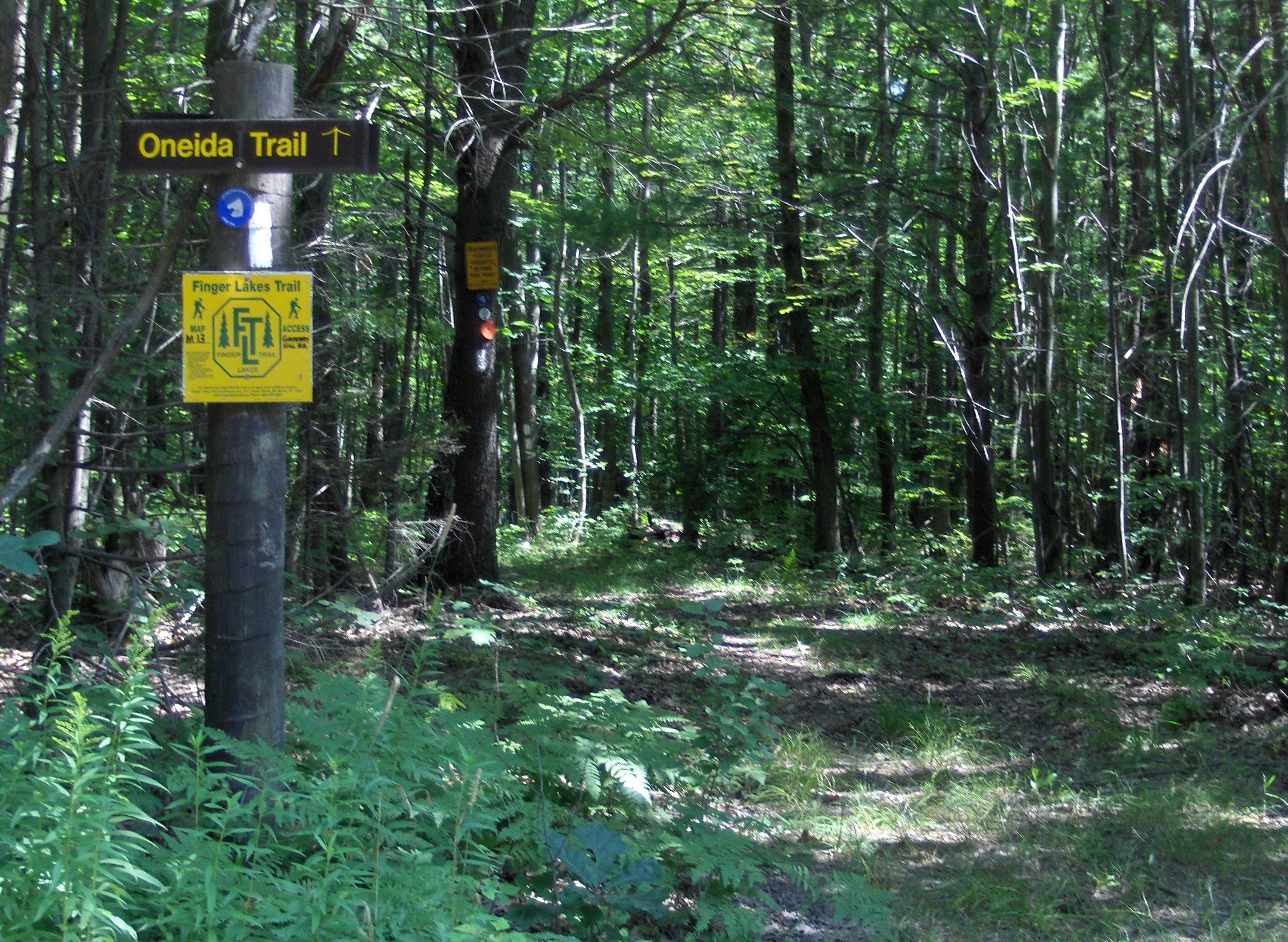
North Country Trail South Bradford & Goundry Hill State Forests
|

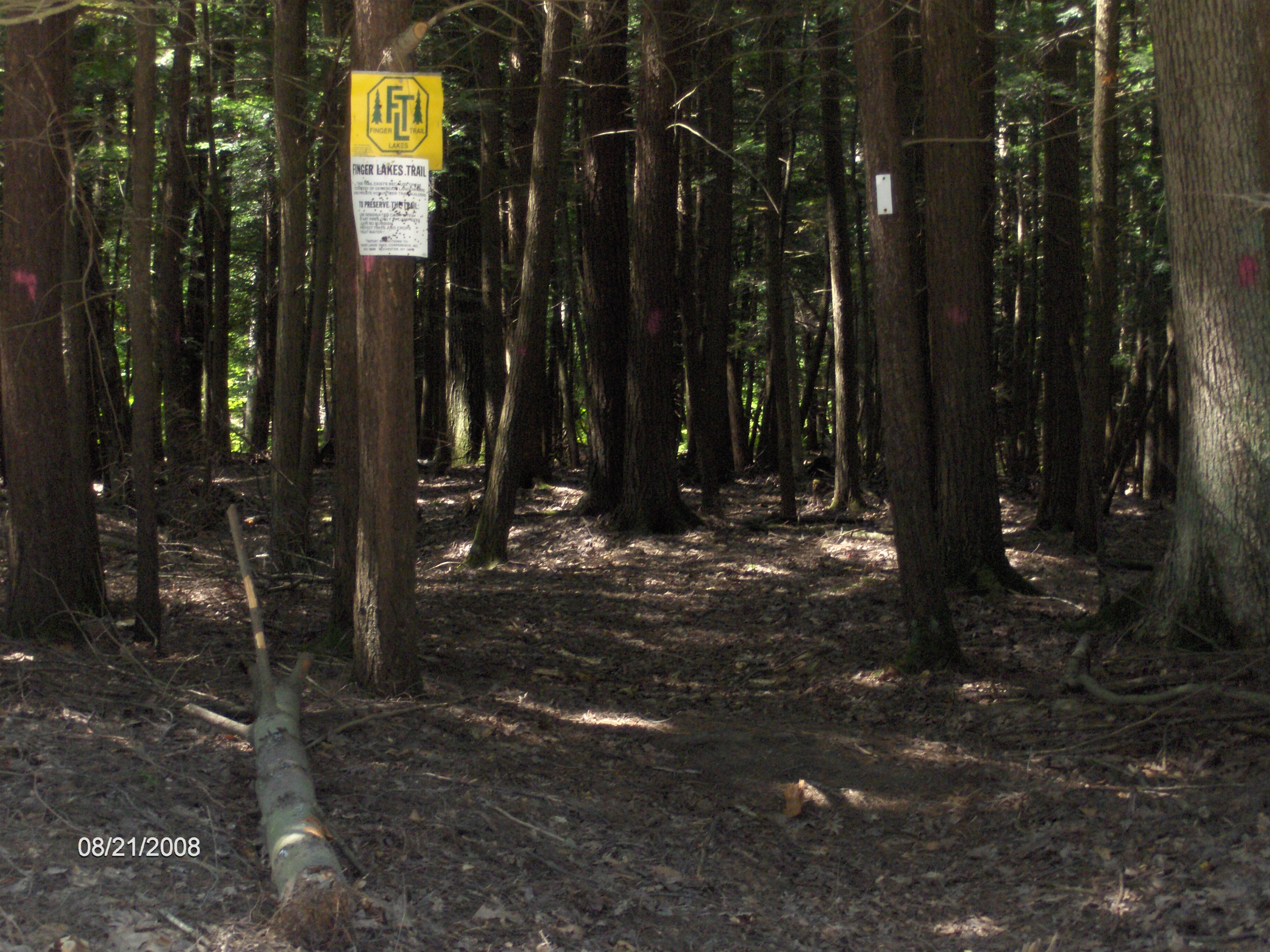
This section of the North Country Trail could be easily called "the rollercoaster" with it's up and downs. This is a difficult and challenging section of the North Country Trail as there is an elevation gain of almost 2100 feet, as well as an elevation loss of 2300 feet during the course of the nearly twelve miles in this section. This section of the NCT coincides with the Finger Lakes Trail.
There has been a lot of work on the trail over the years to improve the grade on certain sections. You will find the Moss Hill Lean To in South Bradford State Forest for those hikers looking for an overnight option. There are also camping areas in Sexton Hollow and Corbett Hollow. The 1800 mile orange blazed Great Eastern Trail northern terminus (aka the Crystal Hills Trail) is near the Moss Hill Lean To at it's junction with the FLT/NCT.
Recently the trail has been rerouted to provide a better grade on some of the steep section in this area. Our map and description below has not been updated to include the sections of rerouted trail. In the summer of 2017 a new Moss Hill Lean To was constructed that features a dining patio area, a woodshed for firewood, and outhouse. The new lean to is also known as the Doggie Shelter as there is a bulletin board with photos of the many doggie hiking companions.
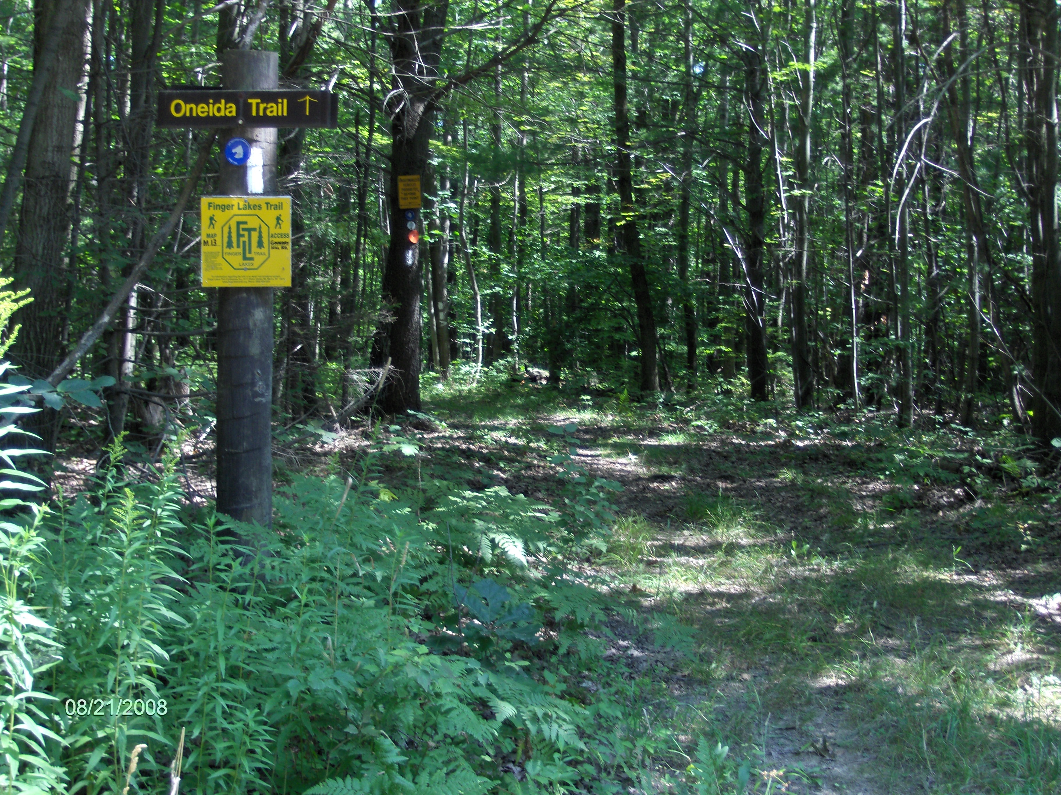
Finger Lakes Trail/North Country Trail at Goundry Hill Road
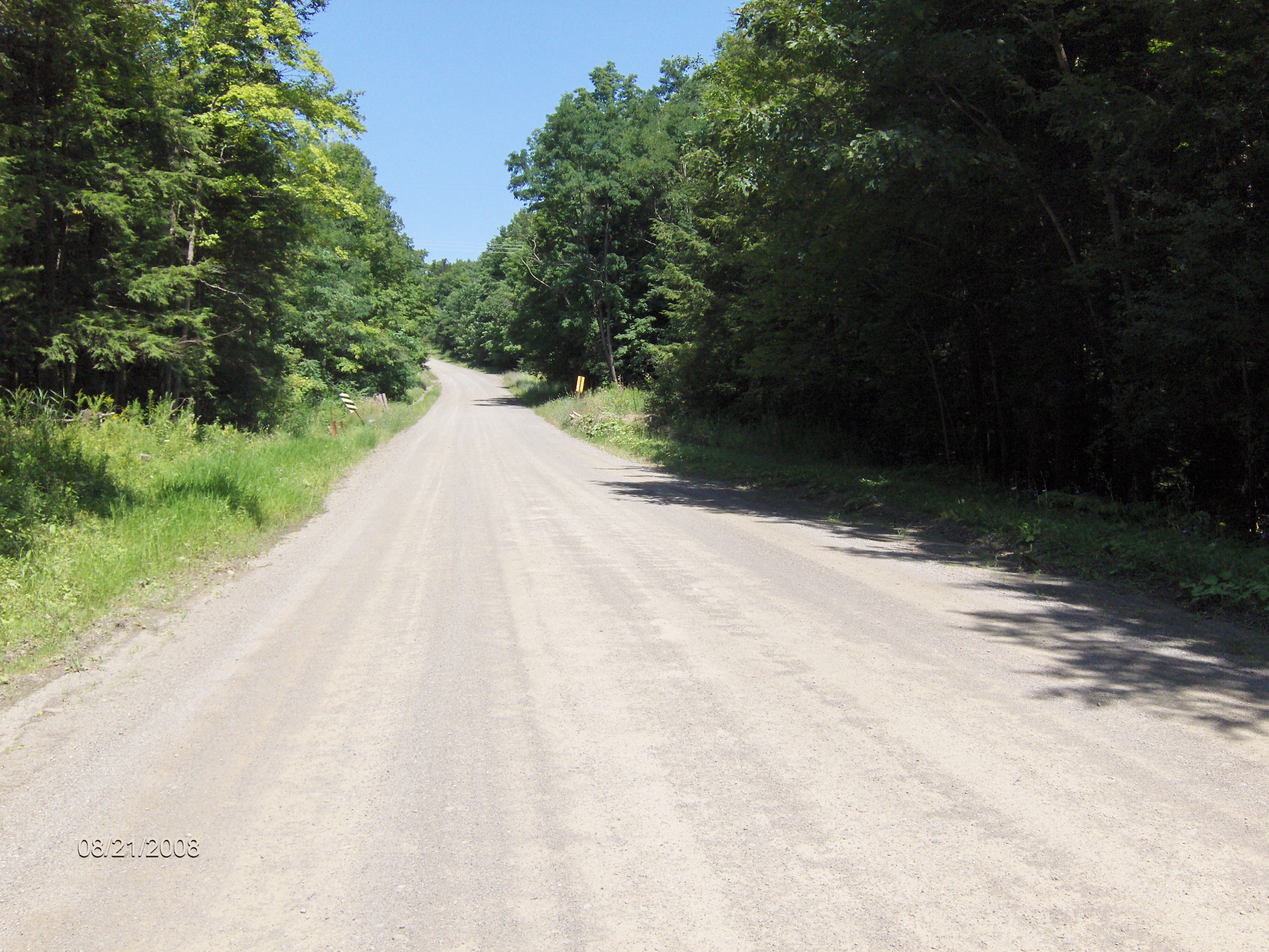
End of Corbett Hollow Road
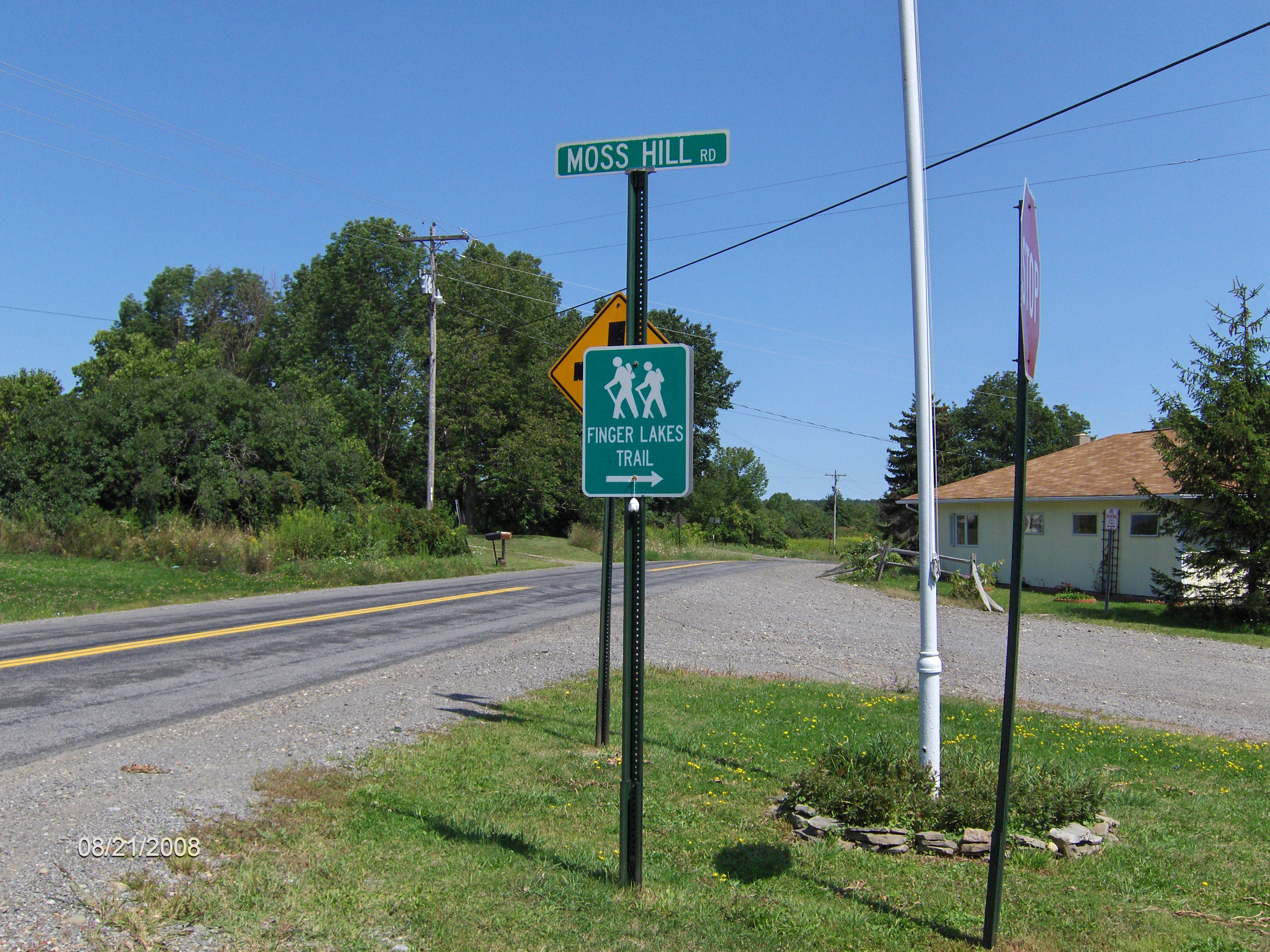
Mile Elevation Description 0.0 1848 feet Moss Hill Rd. Follow road and enter South Bradford State Forest. Parking.
1.7 1411 feet Great Eastern Trail JCT and soon blue trail on right leads to Moss Hill Lean To. Cross stream, turn left and ascend.
2.7 1889 feet Cross Dennis Road
3.7 1553 feet Cross Monterey Road
4.3 1794 feet Enter Schuyler County and Groundry Hill State Forest.
5.8 1318 feet Left on Corbett Hollow Road
5.9 1319 feet Turn right off road before turn around loop and follow trail into woods. Begin long ascent.
7.3 1965 feet Cross Guerin Road. Begin to descend.
8.1 1618 feet Cross Goundry Hill Road.
8.6 1386 feet Turn left on Switzer Hill Road, then in 100 yards turn right into woods.
8.8 1372 feet Cross Pine Creek
9.1 1500 feet Trail veers left and crosses under power lines.
11.7 1623 feet Reach Sugar Hill Rd. End of this section. For a continuation, see Sugar Hill State Forest.