Farmersville
State Forest
![]()
| CNY Hiking HOME PAGE | Finger Lakes Trail | NCT in Western New York | North Country Trail in NY |
|
North Country Trail Farmersville State Forest
|
This short 2.75 mile section of the North Country Trail is completely within the 1144 acre Farmersville State Forest. This stretch of the NCT coincides with the white blazed Finger Lakes Trail.
After leaving West Branch Road near the DEC sign for the forest, the trail begins to ascend after crossing a small stream gully. Soon there are good camping spots in a meadow with young maple trees. The trail reaches Cream Ridge at 1.30 miles and shortly thereafter the highest point along the trail (1.65 miles) in this state forest at 2189 feet. The trail now slightly descends and at 2 miles crosses Hess Road. Shortly the trail will level off and at 2.75 miles reaches Huyck Road, which marks the end of this section. Look below for a few pictures, detailed description and map of this section of the NCT.
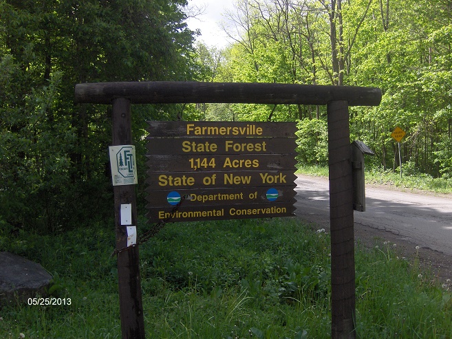
NCT at West Branch Road
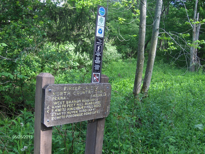
Sign along the trail
Mile Elevation North Country Trail Description (Follow white blazes) 0.0 1865 ft Trail enters Farmersville State Forest off West Branch Road at DEC sign. Parking. GPS N42 23.457 W78 19.486
1.3 2155 ft Trail reaches Cream Ridge.
1.65 2189 ft Highest point along trail within Farmersville State Forest.
2.0 2056 ft Cross dirt Hess Road. Some parking. GPS N42 24.878 W78 19.372
2.75 1919 ft Reach Huyck Road. Some parking. GPS N42 25.431 W78 19.490 End of this section. See Swift Hill State Forest for the next section of the NCT.

| CNY Hiking HOME PAGE | Finger Lakes Trail | NCT in Western New York | North Country Trail in NY |