| CNY Hiking HOME PAGE | Finger Lakes Trail | NCT in New York | North Country Trail in WNY |
|
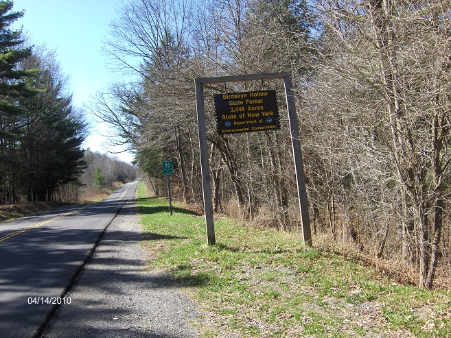
North Country Trail Birdseye Hollow State Forest
|
| CNY Hiking HOME PAGE | Finger Lakes Trail | NCT in New York | North Country Trail in WNY |
|
North Country Trail Birdseye Hollow State Forest
|
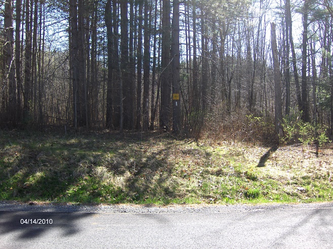
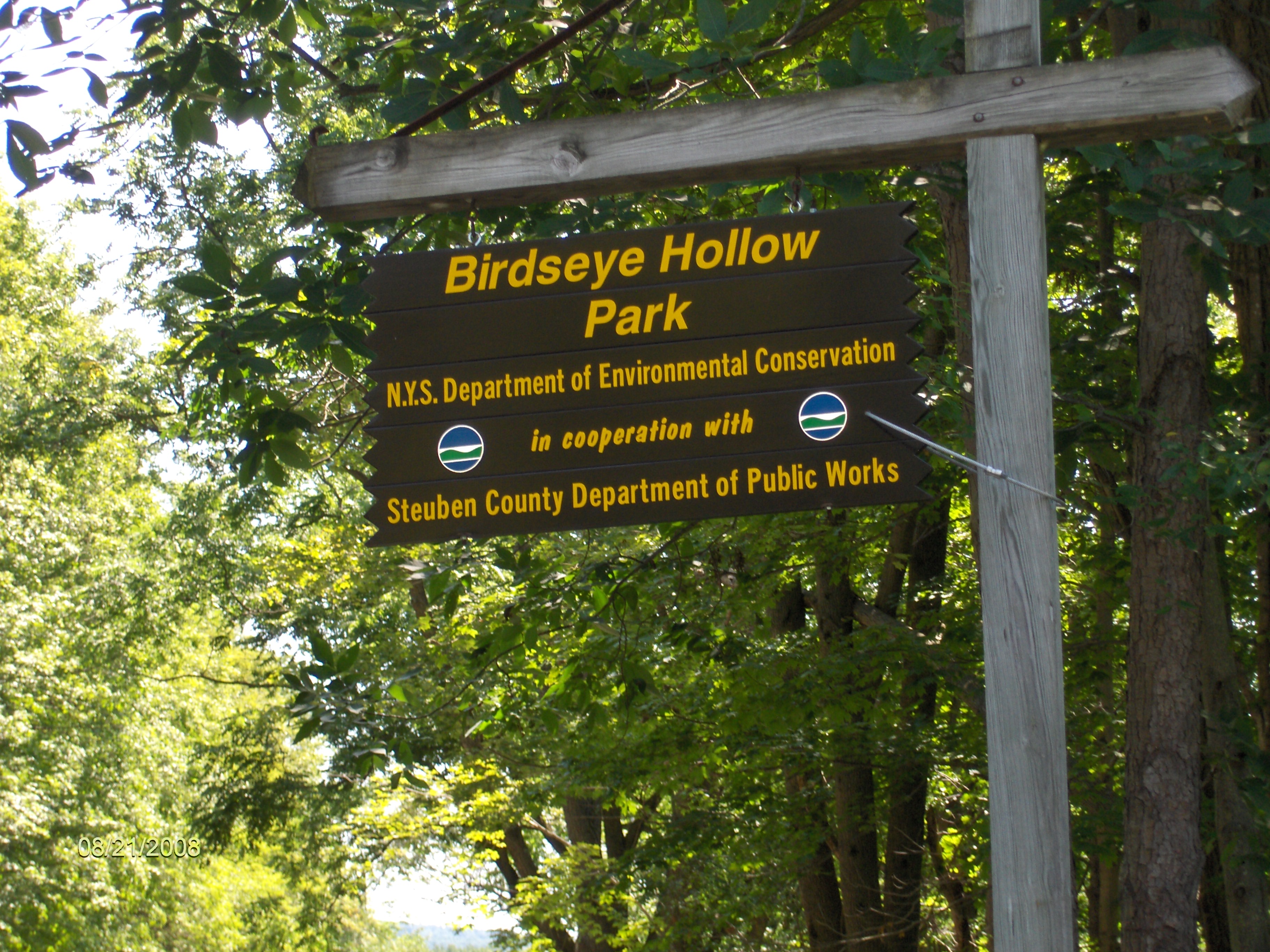
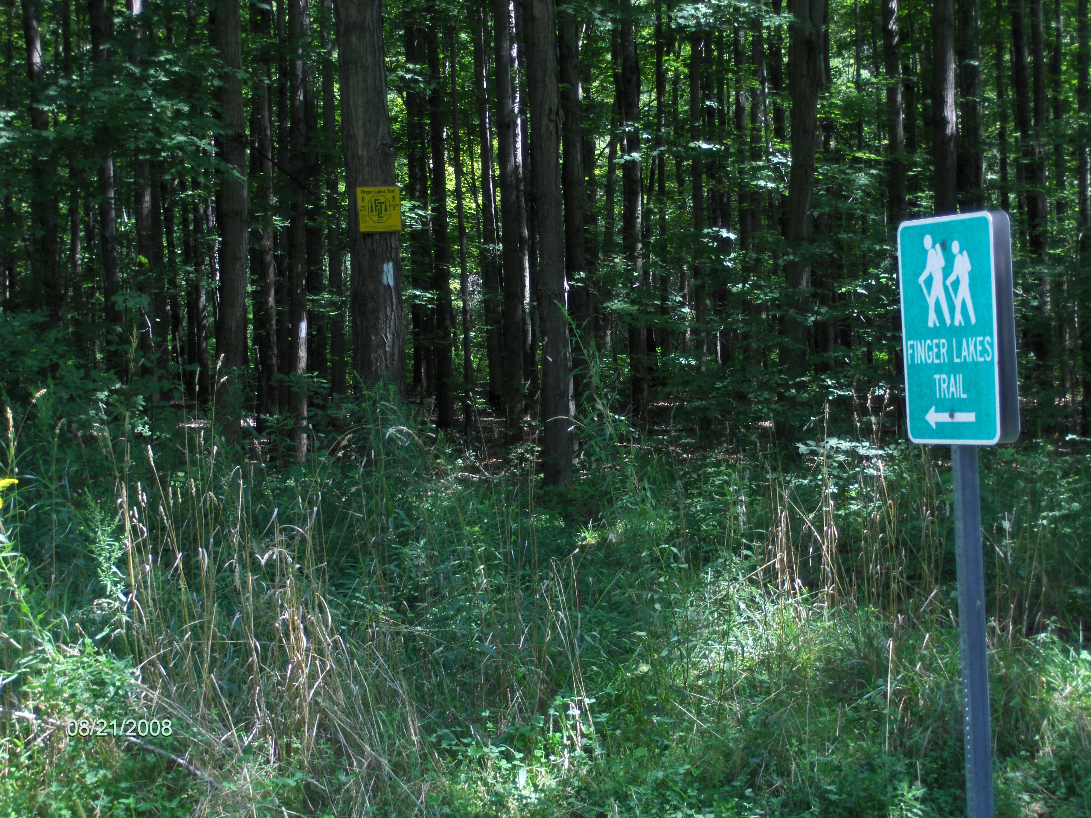
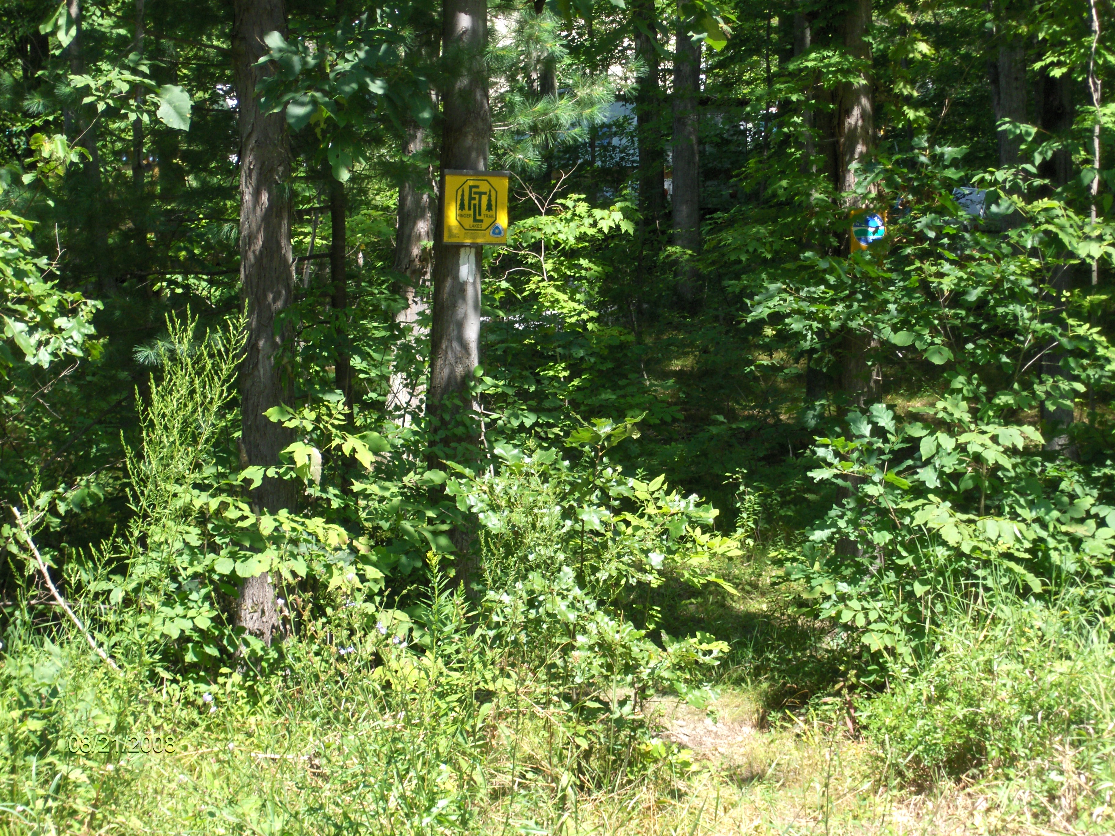
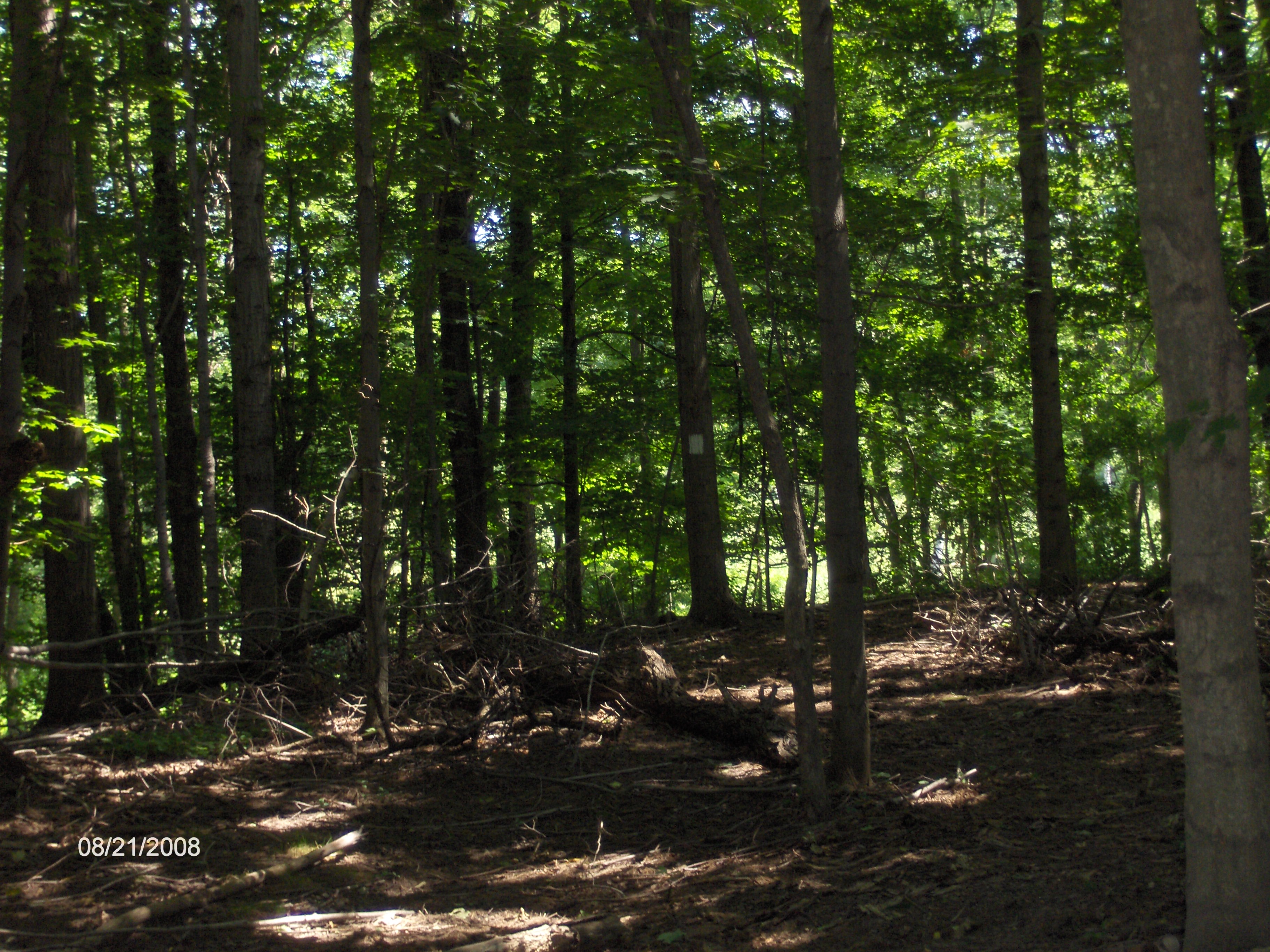
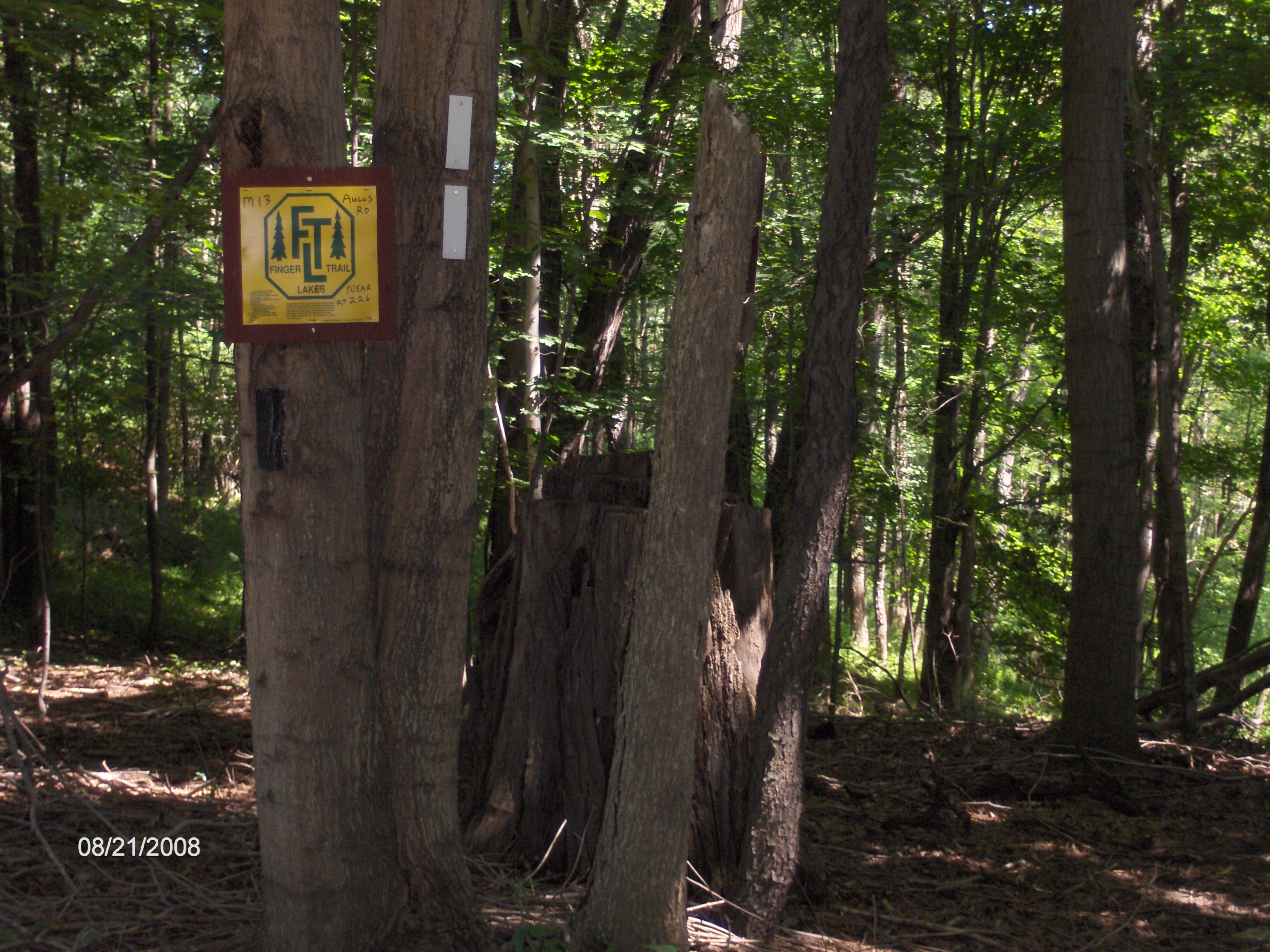
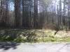
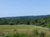
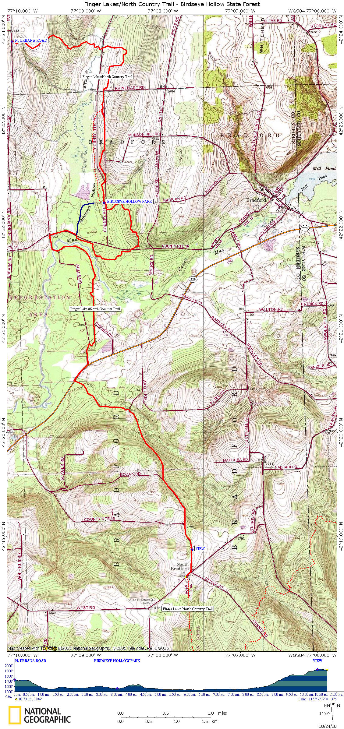
This 10.7 mile section of the North Country Trail features Birdseye Hollow State Forest. This stretch of the NCT coincides with the white blazed Finger Lakes Trail. This section begins off North Urbana Road and immediately enters Birdseye Hollow State Forest. The trail crosses two streams before crossing County Route 96. Soon the trail turns and begins a southerly direction and soon crosses Rhinehart Road. A small grassy parking area is available here (be careful when ground is wet). The are numerous old foundations in this area.
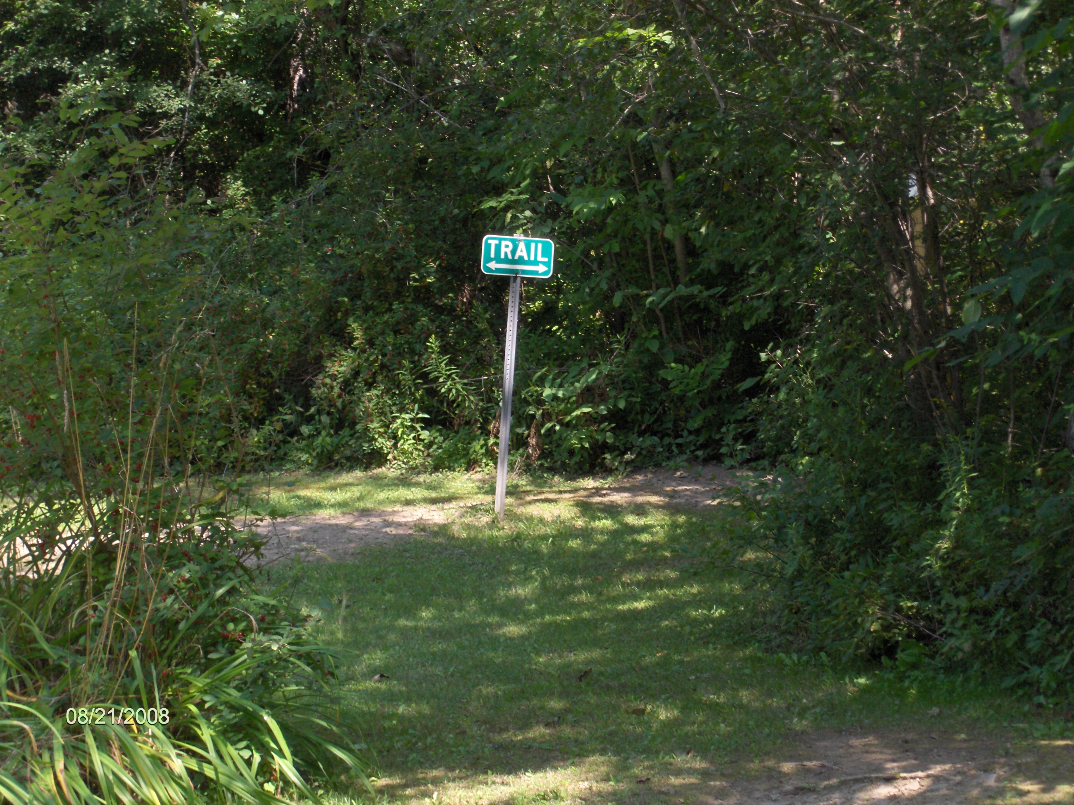
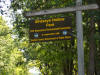
The trail passes the blue blazed Lake Trail from Birdseye Hollow Day Use Park on your right. The trail briefly follows Munson Road then crosses County Route 96 and enters the day use park. There is a port a potty and a picnic area here. The trail then crosses County Route 96 again, climbs for a short time before descending to cross County Route 16 (at an angle). The trail makes its way back to County Route 16, follows the road then turns left on Aulls Road to cross Mud Creek. The trail turns off the road, enters the woods and follows Mud Creek for a short time. The trail crosses seasonal dirt Dumack Road then turns toward Aulls Road. The trail reaches Aulls Road, turns left and follows the road to NY 226.
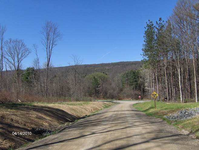
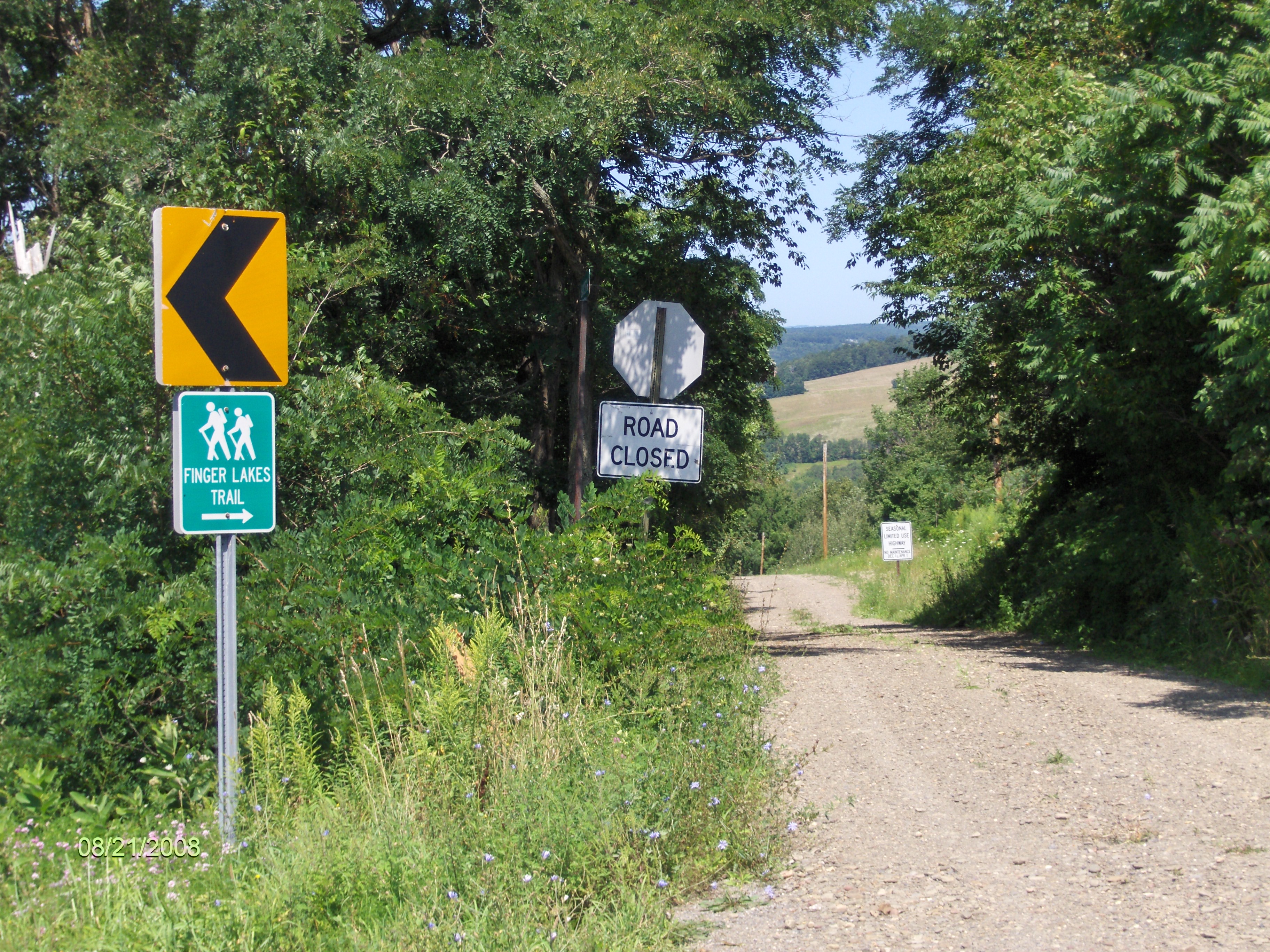
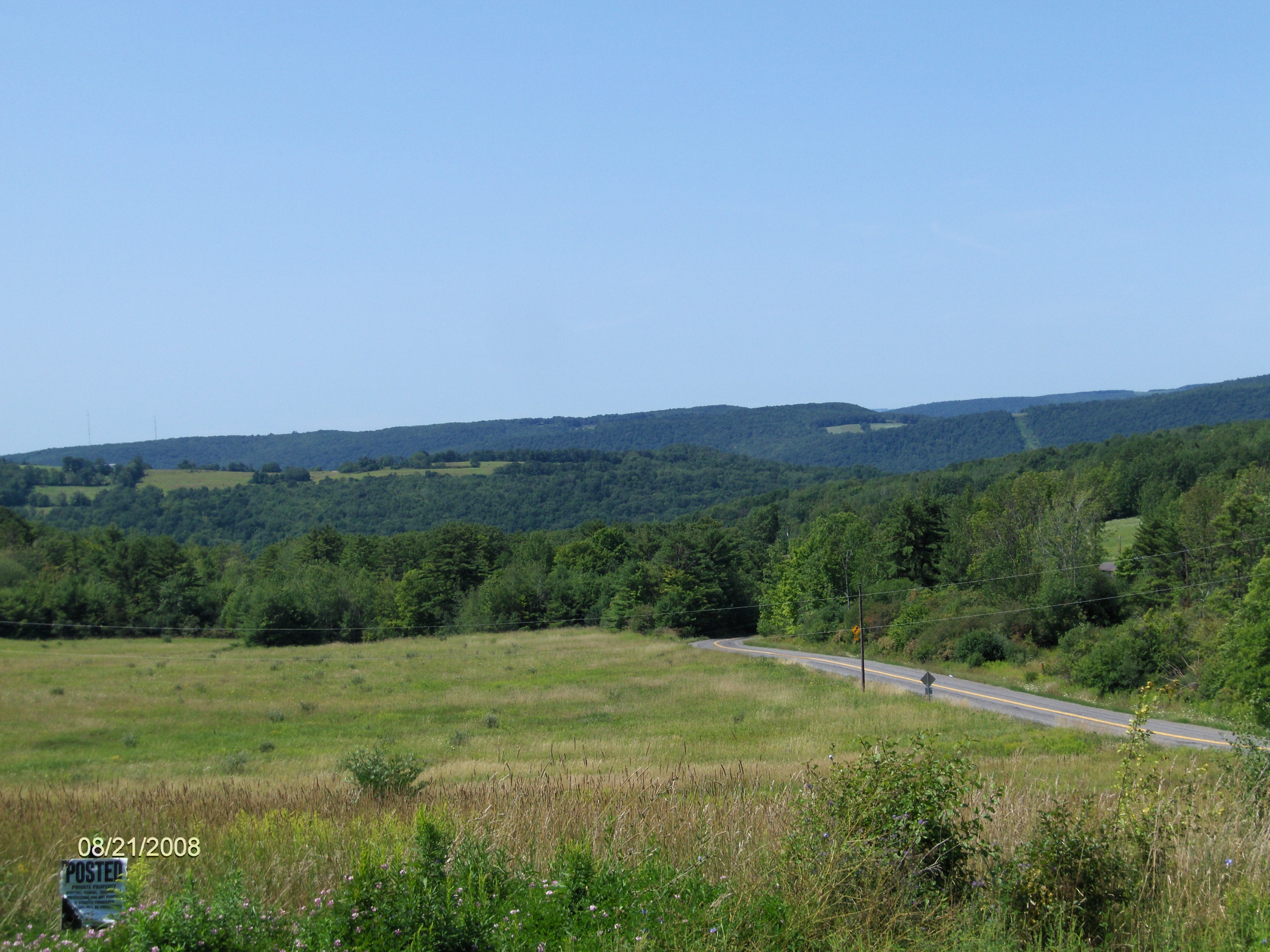
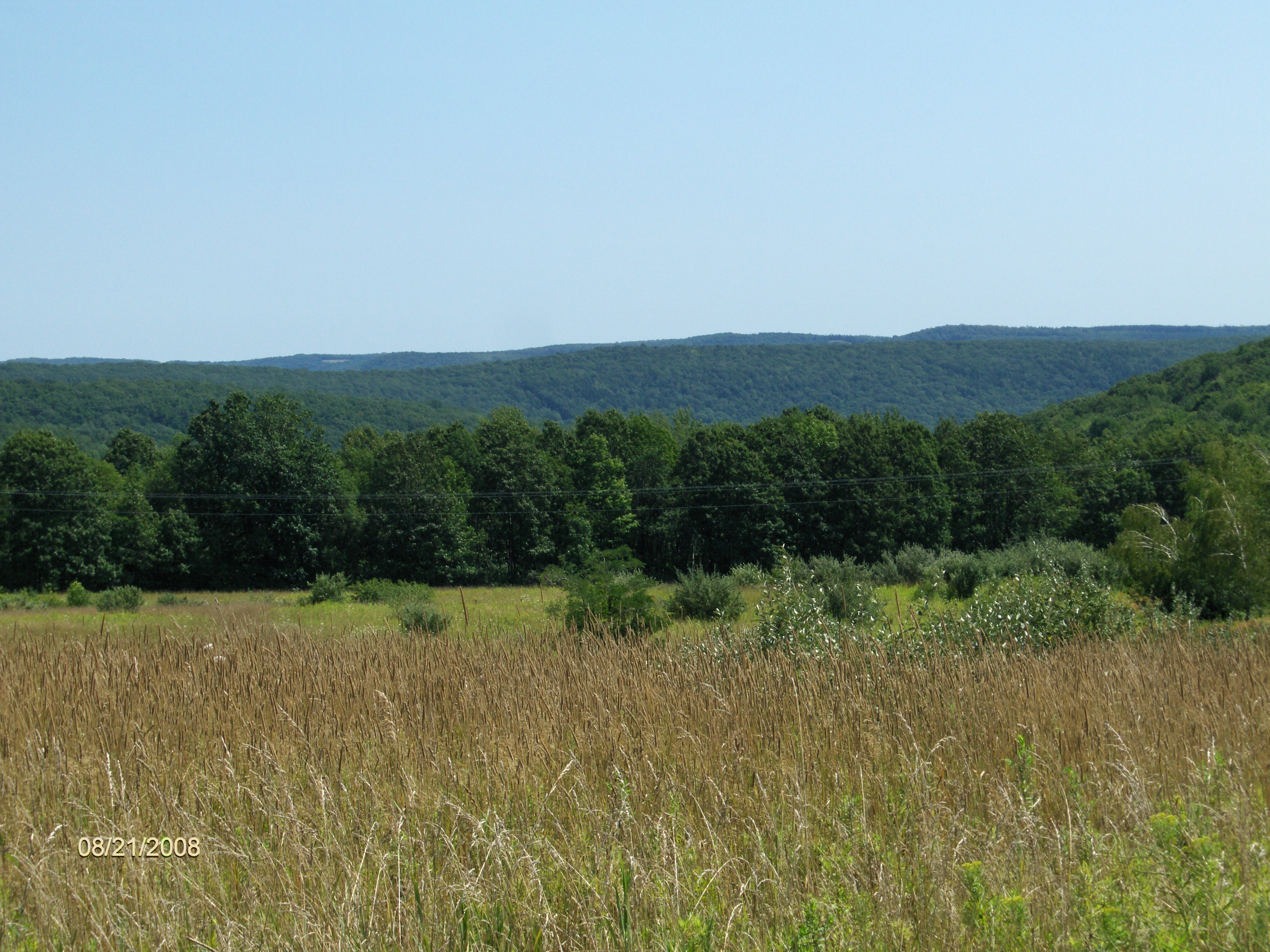
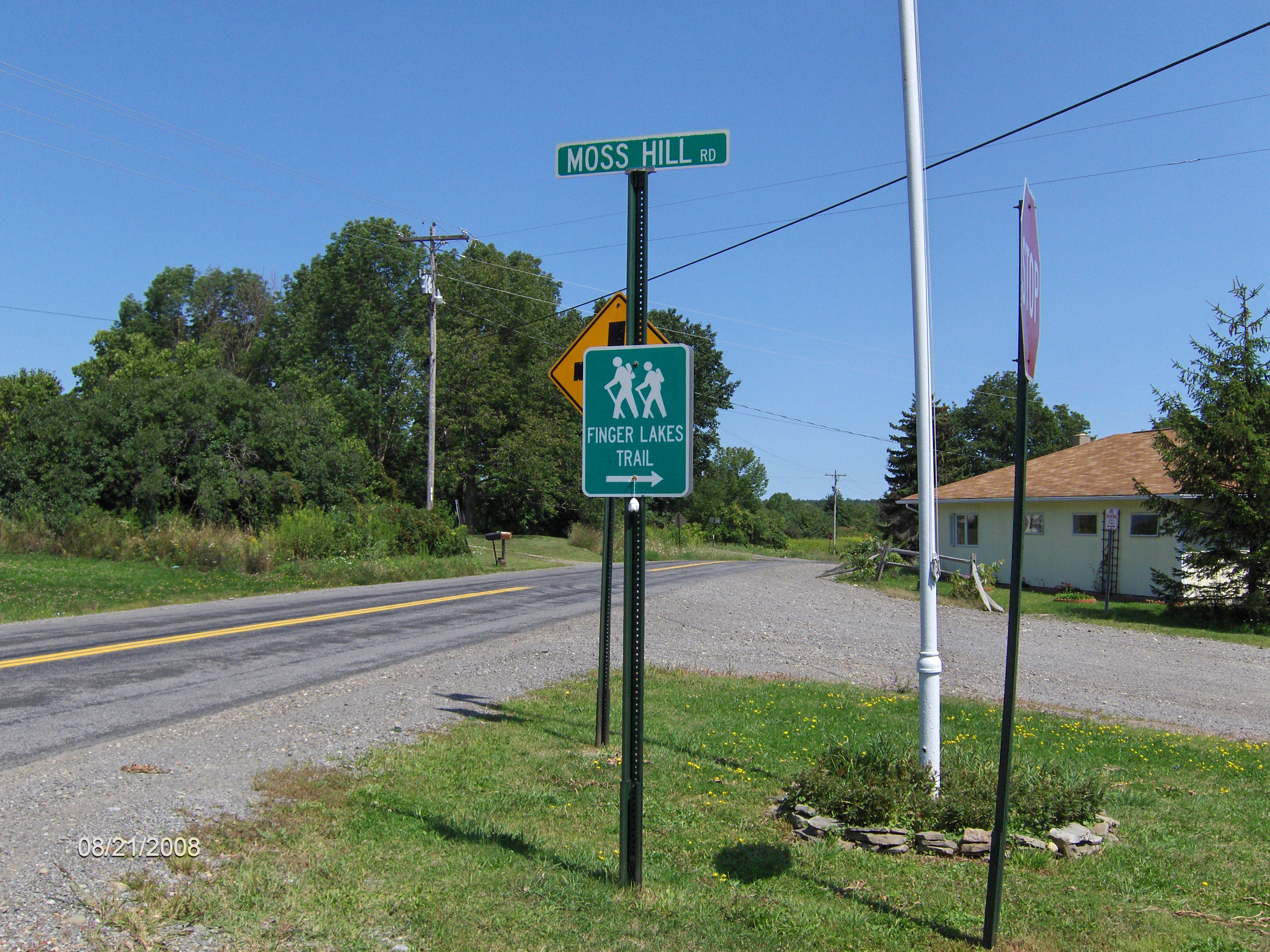
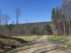
The trail turns right on NY 226 then in 0.2 miles turns left off the busy highway after the bridge and reenters the woods. The trail passes Sutryk Road and leaves the state forest. You are now hiking on private property. In just under a mile the trail reaches old Bozak Road and follows the road uphill. The trail reaches County Route 18 and follows the road. Check out the view first on your right as you reach the road and then to your left as you follow the road. Now turn right on County Route 17 and then a quick left on Moss Hill Road at the Finger Lakes Trail sign. This is the end of this section. You are in the small hamlet of South Bradford.
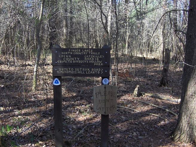
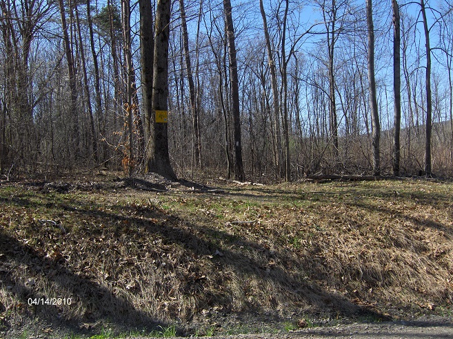
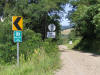
NCT Sign near County Route 16 aka Telegraph Road
Mile Elevation North Country Trail Description 0.0 1473 feet NCT crosses North Urbana Rd and enters Birdseye Hollow State Forest.
Shoulder parking. GPS N42 23.697 W77 08.787
1.2 1102 feet Cross County Route 96.
1.5 1175 feet Trail Register
2.2 1133 feet Cross Rhinehart Road.
2.4 1135 feet Junction of blue blazed Lake Trail from Birdeye Hollow County Day Park.
3.1 1189 feet Turn right on Munson Road.
3.2 1143 feet Cross County Route 96
3.5 1131 feet Birdeye Hollow County Day Park. Parking. GPS N42 22.217 W77 08.859
3.6 1117 feet Turn right on County Route 96, then follow trail left into forest.
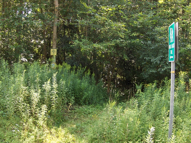
4.5 1152 feet Cross County Route 16.
5.3 1084 feet Turn left on County Route 16. Follow road. Shoulder parking. GPS N42 21.893 W77 09.120
5.6 1090 feet Turn left on Aulls Road.
5.9 1076 feet Cross Mud Creek on bridge, then turn left on trail, leaving road.
7.1 1098 feet Cross Dumack Road.
7.4 1104 feet Turn left on Aulls Road.
7.6 1098 feet Turn right on NY 226. Busy highway.
7.8 1089 feet Turn left off NY 226 after bridge, follow trail into woods.
8.6 1197 feet Sutryk Road and leaving Birdseye Hollow State Forest. Enter PRIVATE PROPERTY.
9.4 1615 feet Cross under power lines.
9.5 1663 feet Reach old "Bozak Road". Follow old road.
10.1 1783 feet Reach County Route 18. Parking. Follow CR 18 straight ahead. Views to your right.
10.4 1863 feet Views to your left and in front of you.
10.6 1842 feet Turn right on County Route 17, entering small hamlet of South Bradford.
10.7 1849 feet Moss Hill Road and the end of this section. Parking. GPS N42 18.622 W77 07.681
For a continuation see South Bradford State Forest.
contact CNY HIKING by email at
contact@cnyhiking.com
(c) 2006-today CNY Hiking - All rights reserved. Any
use of information from this site without permission is strictly forbidden.