| CNY Hiking HOME PAGE | Morgan Hill State Forest | Hiking in Onondaga County |
|
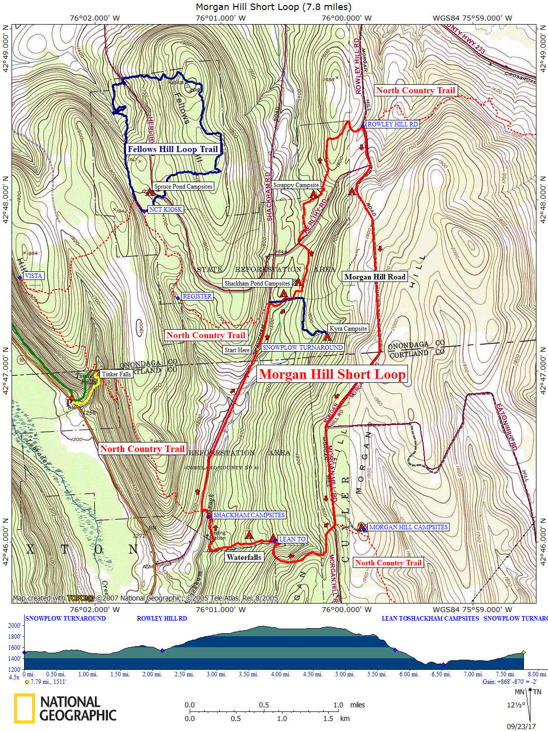
Hiking in Onondaga County Morgan Hill State Forest Morgan Hill Short Loop |
NOTES:This hike utilizes a part of the blue blazed North Country Trail, paved Shackham Rd and some seasonal dirt roads to create a loop of 7.8 miles in Morgan Hill State Forest. This moderate to difficult hike has an elevation change of 868 feet. We only call this the short loop because it is shorter than the Morgan Hill Long Loop. Be sure you have enough water/snacks and proper gear before you attempt this popular hike.
The North Country Trail coincides with the Onondaga Trail, which is a branch trail of the Finger Lakes Trail System.
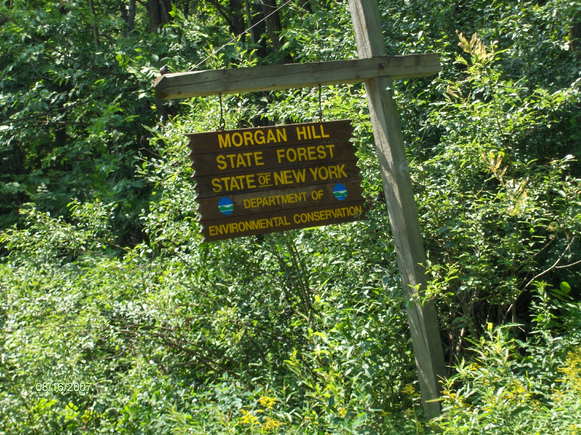
Directions: From Lafayette, US 20 East then right on Apulia Road. Turn left on NY 80 East, then right NY 91 in Apulia. Pass the Tinker Falls parking area and soon turn left onto Shackham Rd. Continue to a snowplow turnaround on your right just north of the Onondaga/Cortland County line (across from a Morgan Hill State Forest DEC sign). Be wary of parking here during wintry weather.
The GPS coordinates of the snowplow turnaround is N42 47.125 W76 00.707 for those who have a GPS devise in their vehicle.
Guide to the Hiking Trails at Morgan Hill State Forest
includes Labrador Hollow Unique Area
**ONLY $5**
Created by CNY Hiking, this guide comes to you as a pdf file that you can either print out or send it to your smart phone or Kindle. You'll have maps & info on hikes at Morgan Hill State Forest at your finger tips. Use the Buy Now button below and we'll send you the pdf file via email usually within 24 hours of payment.
Mile Elevation Description 0.0 1511 feet From the snowplow turnaround, head north on Shackham Road.
0.3 1527 feet Reach the North Country Trail crossing. Turn right and follow blue blazes into the woods. 0.4 1500 feet Enter a stand of pines and turn right as you pass by an old family cemetery. Shackham Pond earthen dam. 0.5 1510 feet Reenter woods and turn left. 1.0 1507 feet Cross seasonal dirt Onondaga One Road and soon pass a trail register. 1.4 1509 feet "Scrappy Campsite" about 100 feet off trail to the left next to a small stream. 2.2 1541 feet Reach seasonal dirt Rowley Hill Road. Turn right and follow dirt road up hill. No blazes. Next 2.8 miles are on seasonal dirt roads.
2.5 1646 feet Pass yellow gate and reach intersection. Continue straight, road is now Morgan Hill Road.
3.75 1998 feet Highest point of this loop hike and entering Cortland County.
4.4 1937 feet Pass season dirt Eaton Hill Rd on your left (unsigned intersection). Continue straight. 5.0 1927 feet Reach crossing of North Country Trail. Turn right and follow trail into woods. Follow the blue blazes.
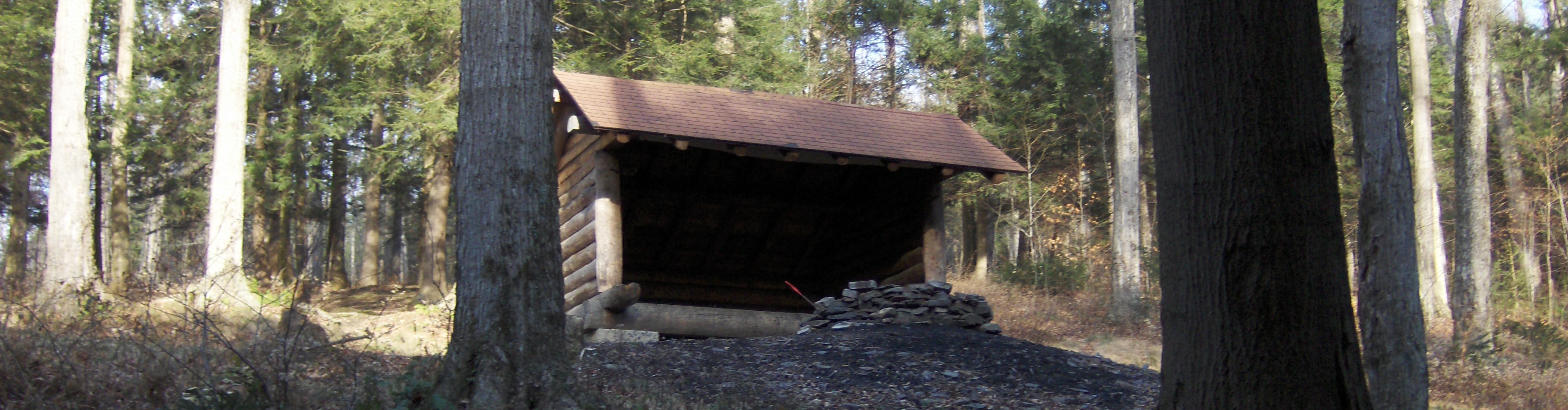
5.3 1813 feet Cross through Hemlock Ravine and Hemlock Brook, then right on old woods road. 5.4 1834 feet Turn right off old woods road and begin steep descent into Hemlock Glen. 5.8 1559 feet Cross Hemlock Brook and then Hemlock Lean To on your right, 150 feet from trail.
6.0 1447 feet Waterfalls & cascades on your left. Campsite on your right. 6.5 1291 feet Cross Shackham Brook on footbridge and reach the Shackham Camping Area
6.65 1358 feet Reach Shackham Road. Turn right following paved road for 1.15 miles.
7.7 1494 feet Entering Onondaga County.
7.8 1511 feet Snowplow Turnaround. End of the Morgan Hill Short Loop.
| CNY Hiking HOME PAGE | Morgan Hill State Forest | North Country Trail in CNYY |