| Miles |
Trail Description
|
| 00.00 |
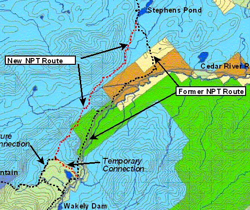
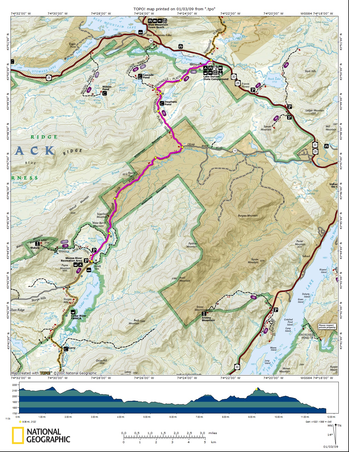
Wakely Dam (2,120' elev.) backs up on the waters of the
Cedar River Flow to make a sizable lake 1.06 sq. mile in area. A gravel
road (Cedar River Rd.) from this point connects with State Rt. 28 and
Indian Lake Village, 15 miles distant. The trail follows this road. |
| 00.30 |
A side trail on the left leads to Wakely Mt. Fire Tower.
Ascent 1,635 ft. to an elevation of 3,744 ft. |
| 06.75 |
At McCanes, signs indicate the trail leaves the road at
this point, bearing to the left. |
| 09.15 |
Stephens Pond (1,952' elev.) is on the right. A side
trail to the right leds 250 feet to a lean-to on the south end of the
pond. |
| 09.70 |
A side trail (red markers) on the left leads to a
lean-to at Cascade Pond, .75 mile and Blue Mt. Lake Village, 4.0 miles.
A register booth is located at this junction. The trail continues to the
northeast. |
| 12.00 |
Lake Durant Campground. This is the junction with State
Rt. 28/30, and also the dam and outlet of Lake Durant formerly 34th
Flow. The trail crosses the road in a northerly direction at the trail
signs. This point is three miles from Blue Mt. Lake Village. |