North Country Trail
Onondaga Trail
New Woodstock-
Tioughnioga WMA
![]()
| CNY Hiking HOME PAGE | Onondaga Trail | Link Trail | NCT in Central New York | Hiking in Madison County |
|
Hiking in Madison County North Country Trail Onondaga Trail New Woodstock- Tioughnioga WMA
|
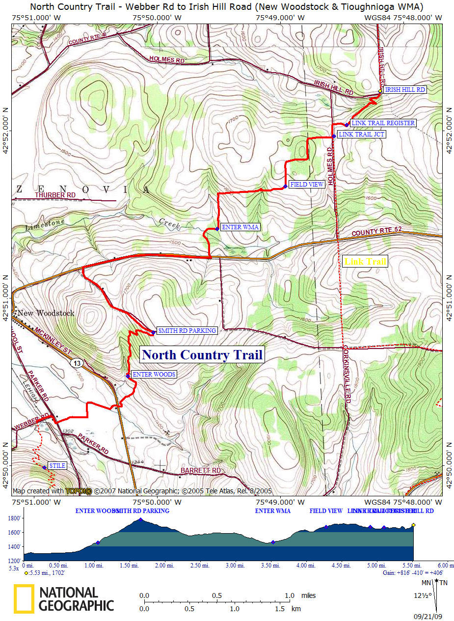
This section of the North Country National Scenic Trail carries the trail past New Woodstock, NY 13 / NY 80, into Tioughnioga Wildlife Management Area and to the Link Trail (which takes the trail through Cazenovia on to Canastota and the Old Erie Canal). This section of the NCT coincides with the Onondaga Trail. The Onondaga Trail northern terminus is at the junction of the Link Trail.
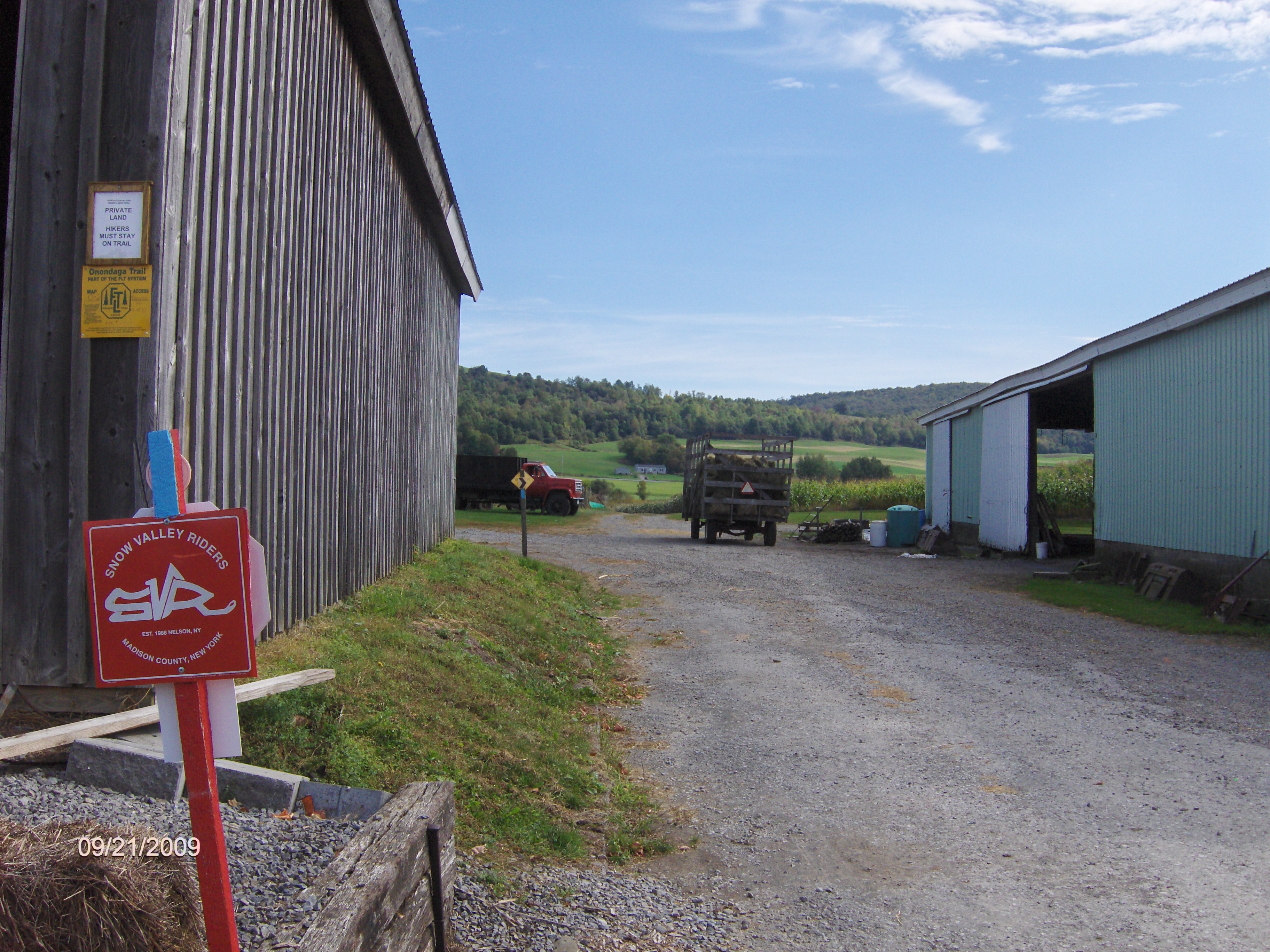
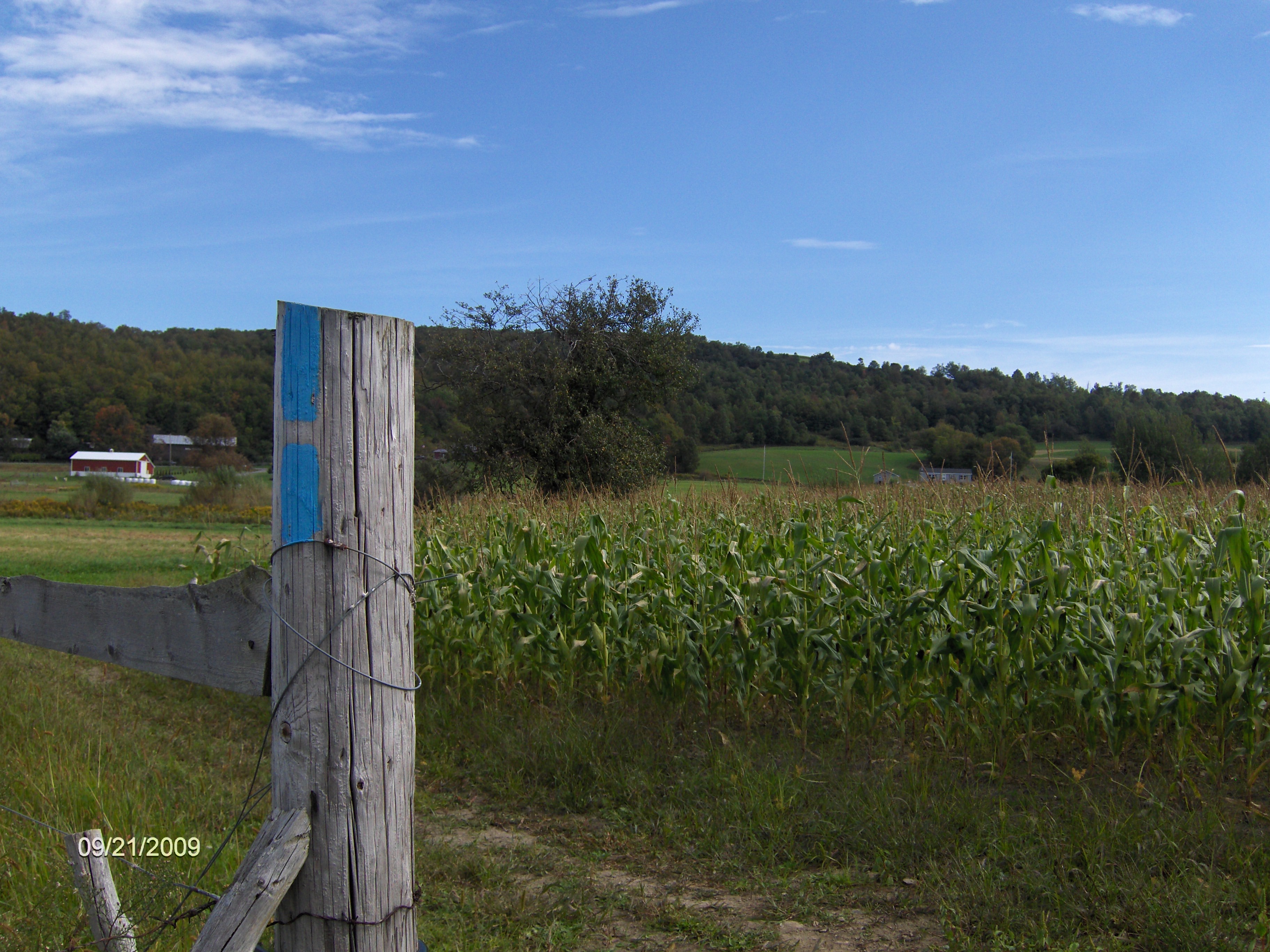
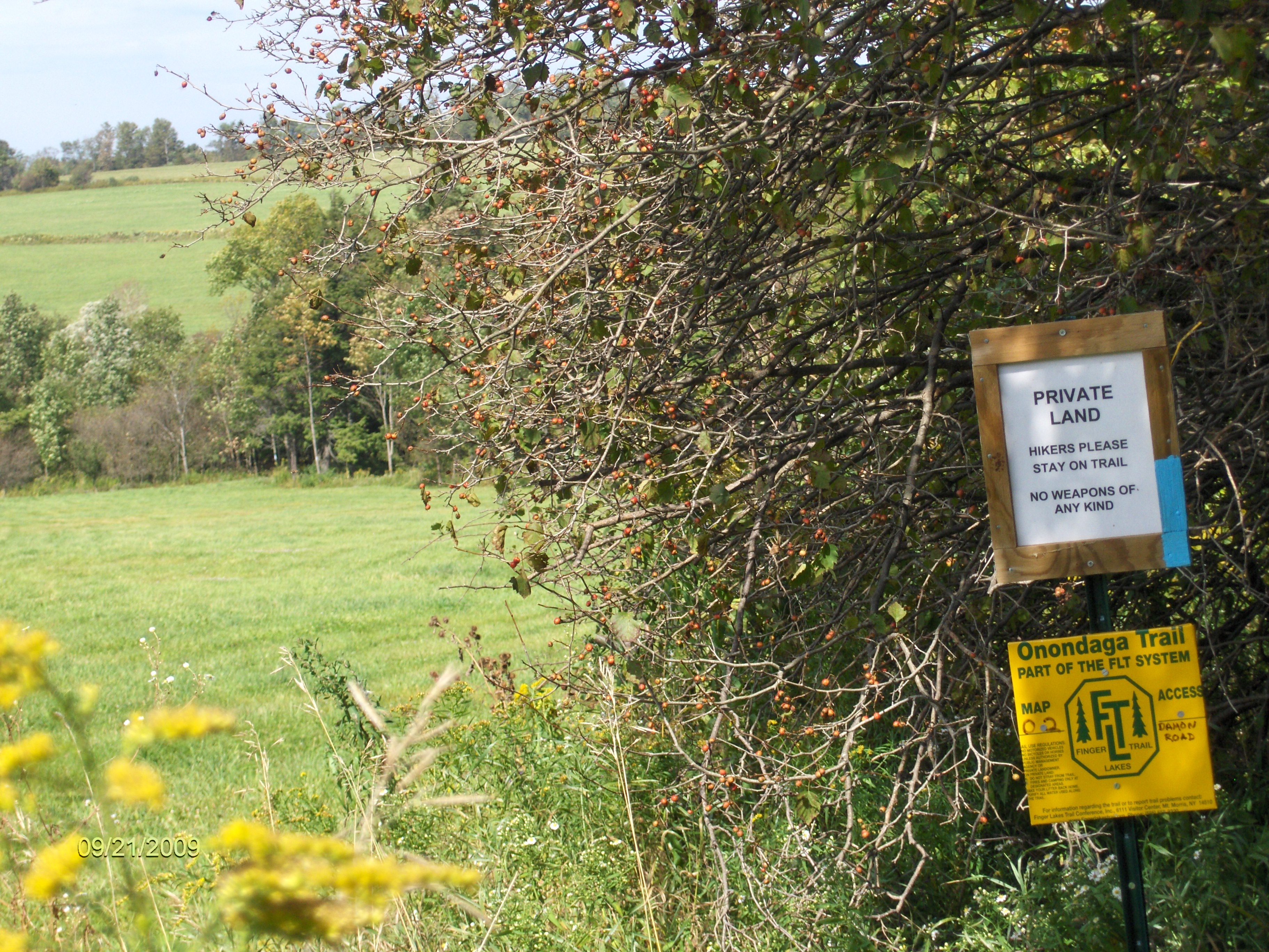
This 5.5 mile section of the North Country Trail starts at the parking area on Webber Road. The trail follows country roads for the first 0.2 mile before turning left into a farm (no parking here) off Parker Road. You'll be walking past a couple of barns, a few silo's, some cows as the trail takes you between a fence and a corn field. Remember that you are hiking on private land. If it wasn't for the generosity of these land owners, this beautiful section of trail would not exist.
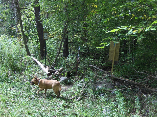
After 0.4 miles the trail turns left, still following the fence line. Your now entering land owned by the Hunt family. They have a couple of black dogs, that seem to be friendly. Be sure you have your dog on a leash. After 0.5 miles the trail crosses a small creek and turns right (your still on Hunt property).
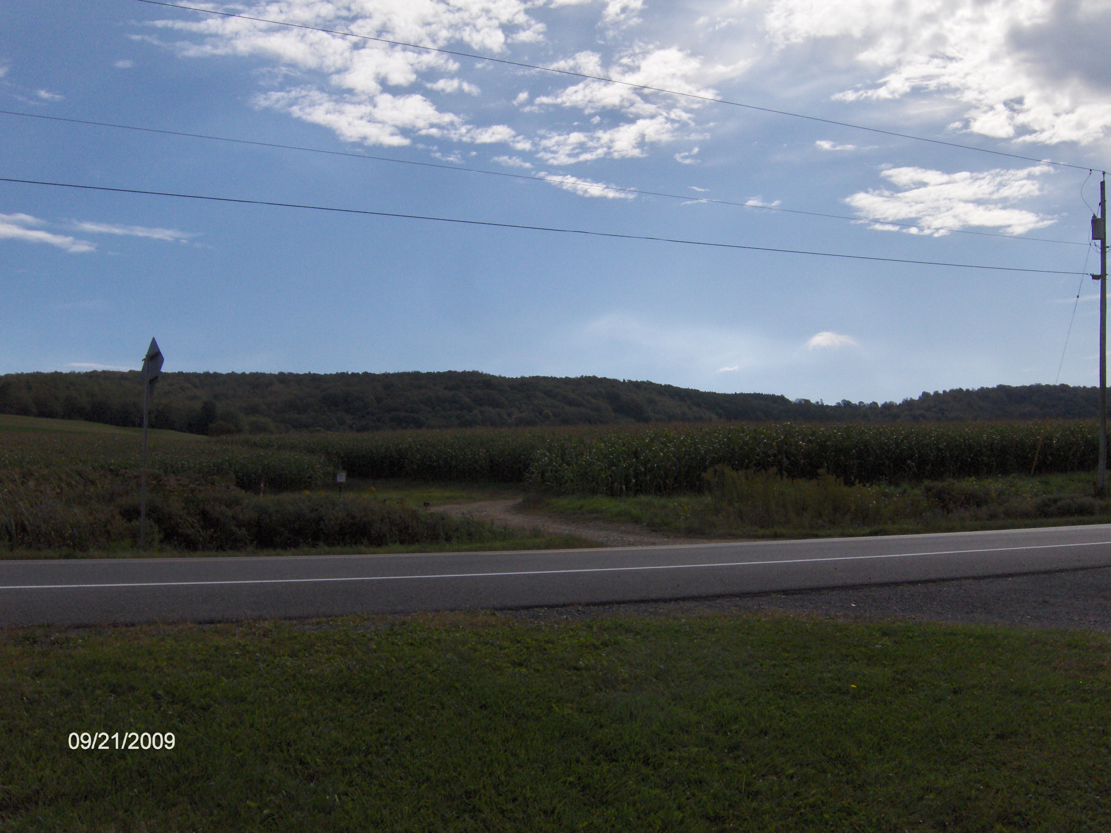
As you come up on the red barn you'll turn left and then right as the trail makes its way toward NY 13/NY 80. There is no parking at the trail crossing for NY 13 / NY 80. As you cross NY 13, you are entering a section of trail that is CLOSED for HUNTING from OCTOBER 1 to DECEMBER 25. THERE IS NO HIKING ALLOWED ON THIS LAND DURING THESE DATES. The trail is closed is from NY 13 all the way up to Smith Road.
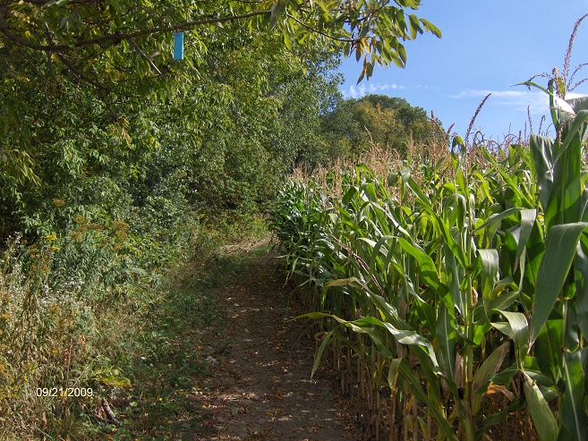
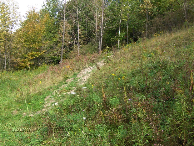
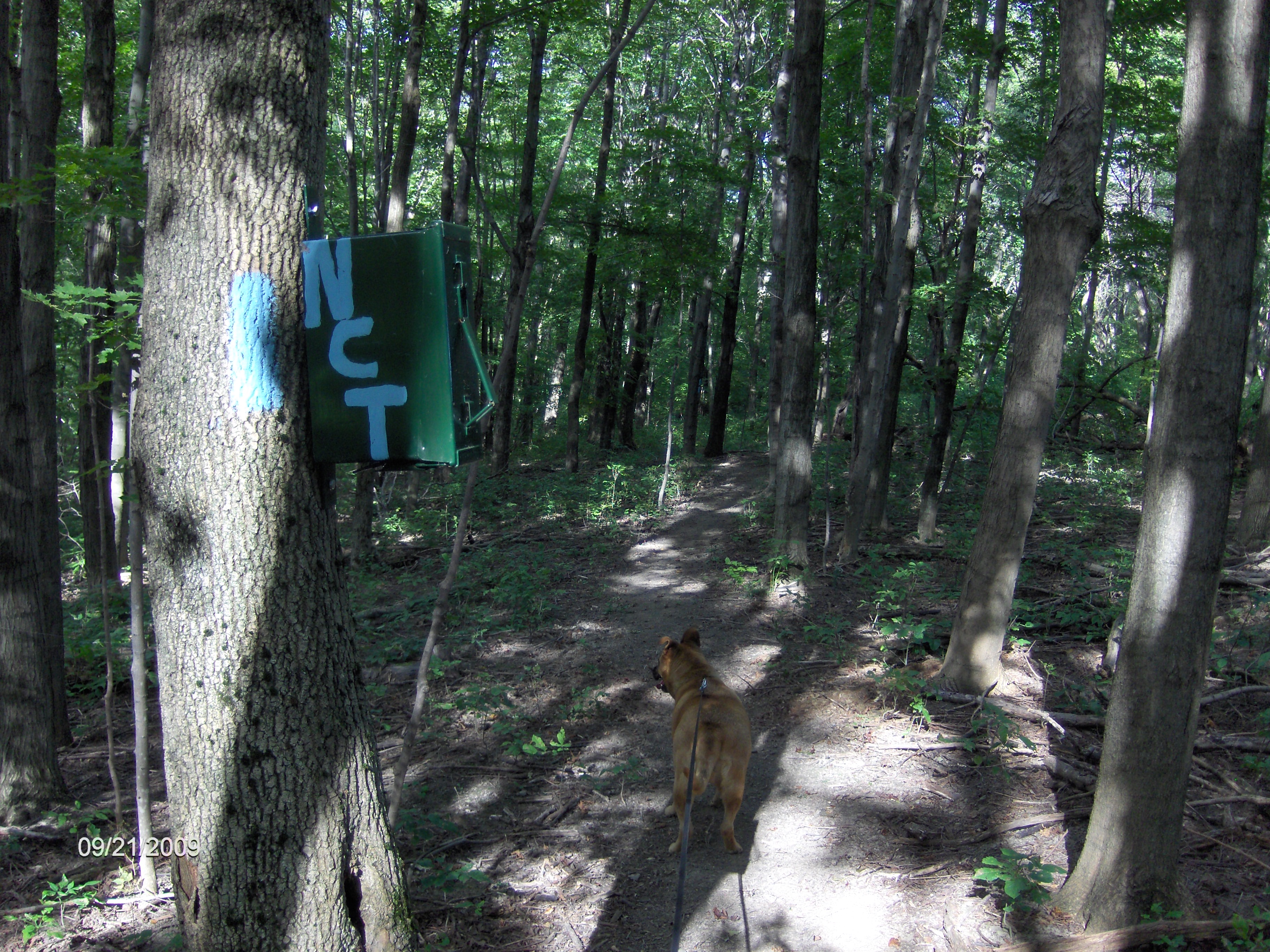
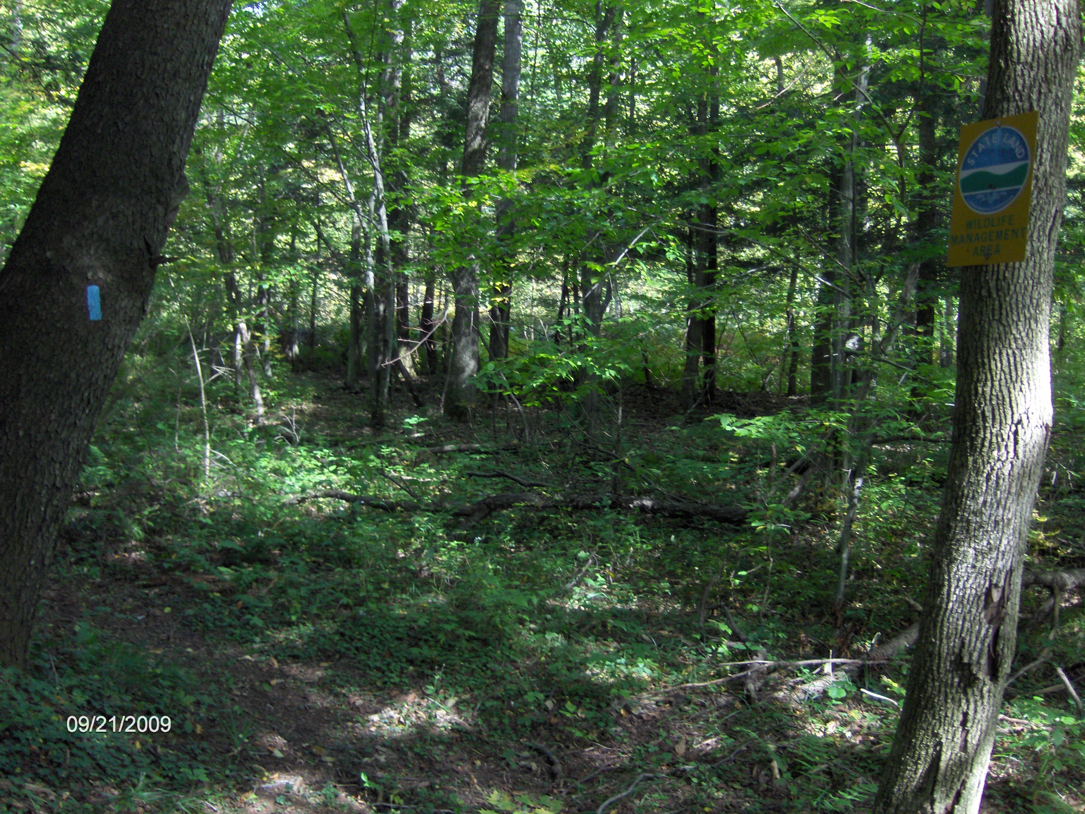
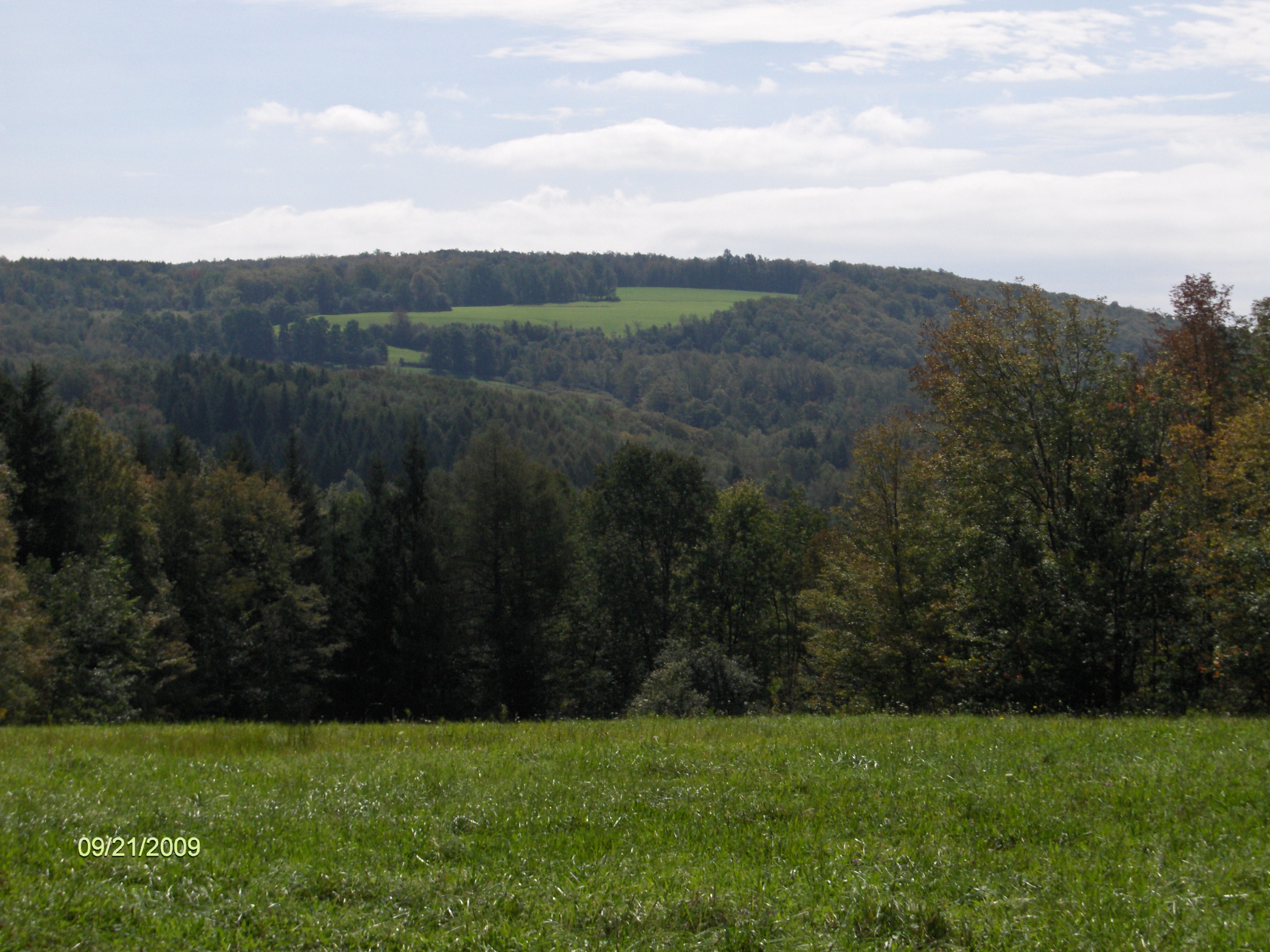
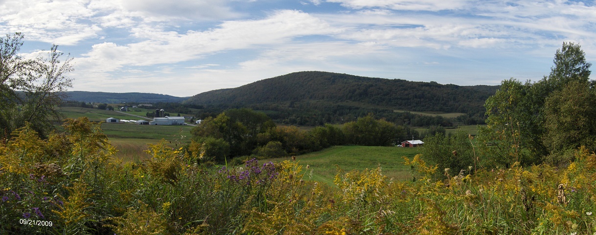
As you hike up the field you have spectacular views for the next quarter of a mile (this section is awesome). You will also have an elevation gain of over 450 feet over the next 0.9 miles. This climb was made easier by the fine trail work done by the ADK-Onondaga Chapter volunteers. After 1.05 miles you'll enter the woods (after all those fantastic views. At 1.5 miles there is a trail register as you climb the final switchback and soon the trail will leave the woods.
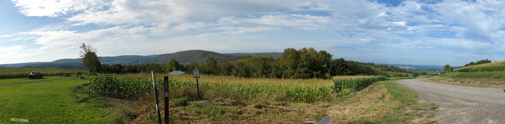
As you leave the woods, look to your left for more views as the trail turns right following another corn field. As you approach the small parking area on Smith Road there are more spectacular views. You'll reach the small parking area on Smith Road at 1.65 miles and more spectacular views. This could be the only parking area along the NCT that has incredible views.
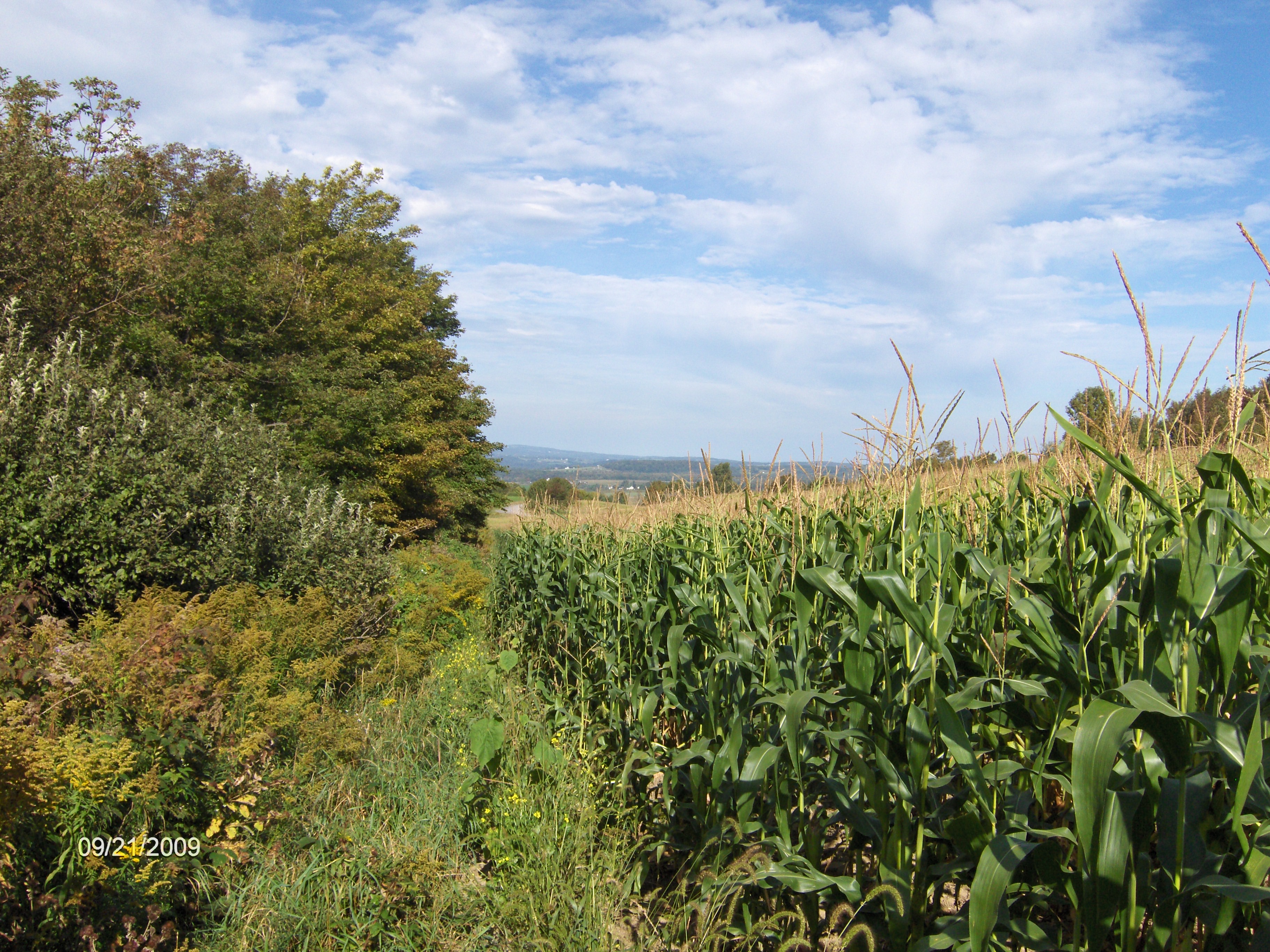
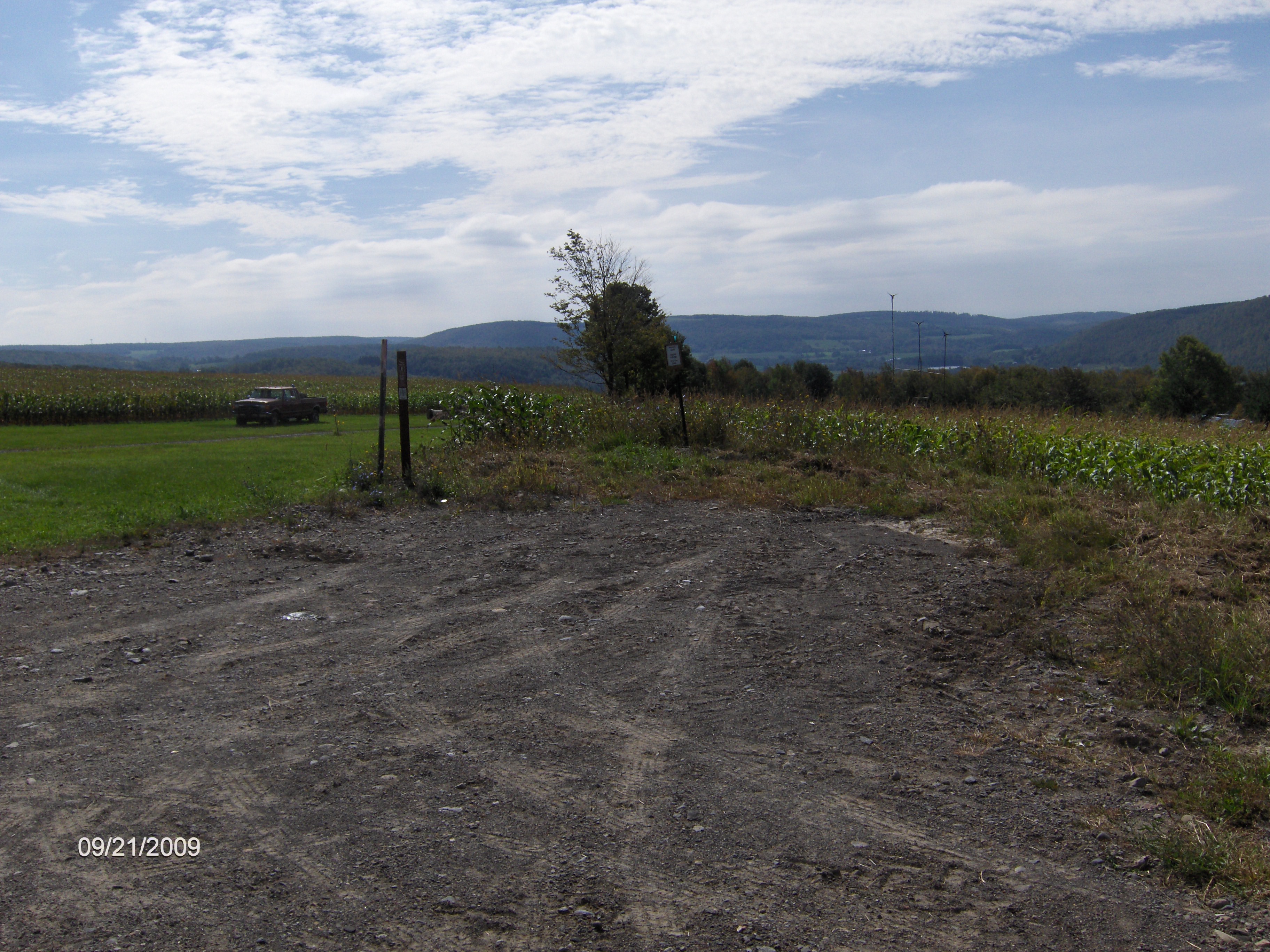
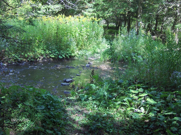
For the time being the trail follows roads for the next 1.6 miles up to where the trail turns left off of Damon Road (I did not see parking available at the trailhead, but you should be able to park on Corkinsville Road, just 0.1 mile to the east). The first 0.3 miles you'll be hiking on Private Property before entering Tioughnioga WMA. The first part of the trail runs along the tree line before turning right and entering the woods. There is a fording of the East Branch of Limestone Creek, which looks like it would be not too much fun during high water times.
At 3.5 miles you'll enter Tioughnioga WMA. The trail follows along the boundary of the WMA during this section. At 4.3 miles there is a surprising view to your right. A great place to take a break and enjoy the scenery. At 4.9 miles you reach the junction of the Link Trail and the end of the Onondaga Trail. The North Country Trail turns left along the abandoned section of Holmes Road and follows the Link Trail. You'll notice the yellow blazes as well as the blue blazes of the NCT. The Link Trail is blazed yellow. Don't let the yellow & blue blazes confuse you. You'll see them from here to the Old Erie Canal Trail.
At 5.0 miles the NCT veers right off the dirt road back into the woods. At 5.1 miles there is a trail register. At 5.4 miles cross a small creek and at 5.5 miles you'll reach Irish Hill Road. This is the end of this section of the North Country Trail. There is ample parking available along the road here. Look below for pictures, videos, a map and trail description of this section of the NCT.
It is highly recommended that you don't hike in Tioghnioga WMA during hunting season.
Mile Elevation Trail Description 0.0 1296 feet From the parking area turn right onto Webber Road. Follow road.
0.1 1314 feet Turn right on Parker Road (aka School Street).
0.2 1300 feet Turn left at barn of farm (FLT trailhead sign on barn). Follow blue blazes.
0.4 1309 feet Turn left along fence.
0.5 1309 feet Cross small stream, turn right.
0.65 1316 feet Prior to red barn, turn left and then right heading toward NY 13.
0.7 1326 feet Cross NY 13. No Parking. Views as you hike up field. NOTE: The trail from here to Smith Road is CLOSED for HUNTING from October 1 to December 25.
0.8 1337 feet Trail turns right along corn field.
0.9 1399 feet Trail veers left away from grassy field (hard to see this). Great views.
1.05 1456 feet Trail veers right and enters woods.
1.5 1705 feet Trail Register.
1.6 1758 feet Leave woods, views to your left, turn right following corn field.
1.65 1782 feet Reach Smith Road. Parking Area (for 2-3 cars). Turn left and follow road. Views.
2.3 1550 feet Turn right on Damon Road.
3.25 1521 feet Trail turns left off road on to PRIVATE PROPERTY. Views.
3.4 1451 feet Turn right, enter woods then ford Limestone Creek.
3.5 1464 feet Enter Tioughnioga Wildlife Management Area. Follow WMA boundary. Hiking through an old apple orchard for parts of this section.
3.8 1541 feet Trail turns right, still following WMA boundary.
4.3 1679 feet View to your right. Great place to take a break.
4.6 1710 feet Trail turns left. Look for old property marker on your left. Trail continues to follow WMA boundary.
4.9 1675 feet Reach Holmes Rd and the Link Trail. End of the Onondaga Trail. Turn left and follow the yellow blazes of the Link Trail as well as blue blazes of the NCT along dirt Holmes Rd.
5.0 1648 feet Trail veers right into forest.
5.1 1668 feet Link Trail Register.
5.5 1702 feet Reach Irish Hill Road and the end of this section. Parking.
View at small parking area on Smith Road
CNY
Hiking HOME PAGE
Onondaga Trail
Link Trail
NCT in Central New York
Hiking in Madison County
contact CNY HIKING by email at
contact@cnyhiking.com
(c) 2006-today CNY Hiking - All rights reserved. Any
use of information from this site without permission is strictly forbidden.