Rock City
State Forest
![]()
| CNY Hiking HOME PAGE | Finger Lakes Trail | NCT in New York | NCT in Western New York | Rock City State Forest |
|
North Country Trail Rock City State Forest
|
This 8.2 mile section of the North Country Trail travels through the unique 2905 acre Rock City State Forest. This state forest has a picnic area off Little Rock City Road (seasonal dirt road) and has the remains of the old Seneca CCC camp near Hungry Hollow Road. This state forest also has many miles of mountain bike trails. This stretch of the NCT coincides with the white blazed Finger Lakes Trail.
Rock City State Forest received its name due to the massive boulders the size of houses which are naturally arranged so that they resemble a city with “streets” running between them. This unique “city” is formed by many factors including a massive resistant conglomerate bed, erosion of the weak shale base and soil creep. The conglomerate bed actually has its own geological designation known as Devonian Salamanca conglomerate. A conglomerate is a rock consisting of individual stones that have become cemented together.
With nothing to prevent this bed of rock from sliding down slope, the conglomerate has been carried slowly downhill by soil creep which has been going on for thousands of years. This downhill slide has caused the conglomerate bed to break into huge blocks to form the “buildings” and “roads” of the “city”. As these blocks lean against each other they form caves, tunnels and passageways.
This section of the North Country Trail begins on the corner of NY 353 and Stone Chimney Road. There is parking 0.1 miles to the west at the Patricia McGee Trail Parking Area. GPS coordinates are N42 12.270 W78 45.326 for the parking area. The NCT used to follow Stone Chimney Road through private property to reach Rock City State Forest, however the landowner has closed the trail through his property in 2015. Follow the road reroute to reach Rock City State Forest. This reroute has added four miles on the trail. Take NY 353 north to Whig Street. Turn right and follow Whig Street to Hungry Hollow Road. Turn right on Hungry Hollow Road and follow road to Little Rock City Road. Turn right onto Little Rock City Road following the road to the end.
You have reached "Little Rock City" and the picnic/camping area, where there is no water available. The NCT follows the Little Rock City Loop Trail as it winds it way through an amazing maze of many giant crevices between the huge rocks and hanging fern gardens. This area is well worth exploring.
The NCT follows state forest nature trails over the next couple of miles. Be sure to watch for white blazes. The trail passes an area that was devastated by a tornado in 2010. This section ends at Hungry Hollow Road near the old CCC Camp Seneca with picnic pavilion plus camping area. Look below for a map and trail description of this section of the trail. This section of the North Country Trail is also part of the Conservation Trail.
NCT traveling into Little Rock City
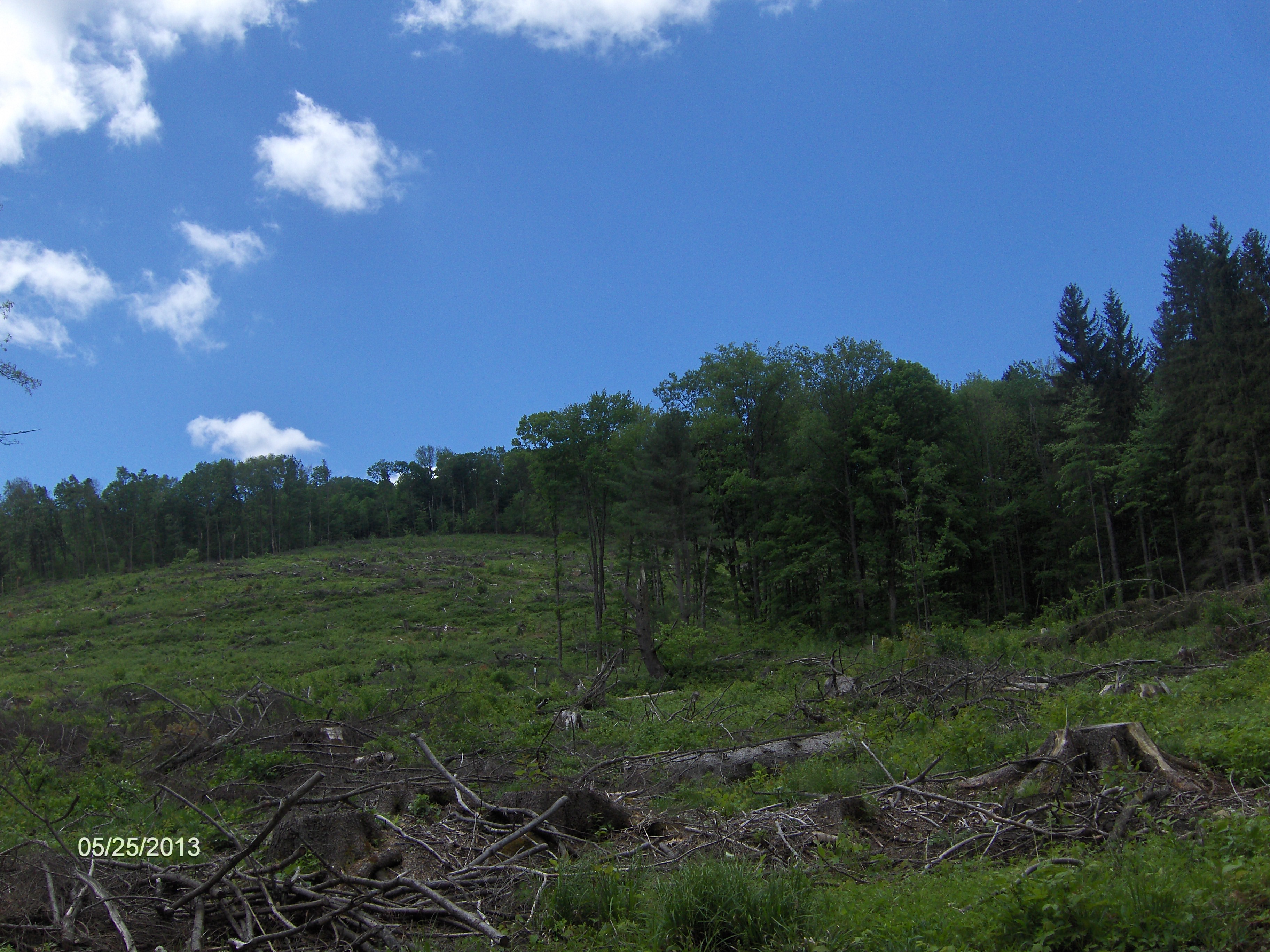
Tornado damage area in Rock City State Forest
Mile Elevation North Country Trail Description 0.0 1457 feet This section begins at the corner of NY 353 and Stone Chimney Road. Parking 0.1 miles to the west at the Patricia McGee Trail Parking Area. GPS coordinates are N42 12.270 W78 45.326. Follow NY 353 north.
0.75 1476 feet Turn right on Whig Street. 2.75 1632 feet Turn right on Hungry Hollow Road. 3.85 2143 feet Turn right on Little Rock City Road. Soon enter Rock City State Forest. 4.25 2194 feet Bent Rim Mountain Bike Trail is on your right. 4.45 2180 feet Seneca Camp Mountain Bike Trail on your left. 5.15 2209 feet Eckert Road (dirt) on your right. 5.65 2221 feet End of Little Rock City Road. Shoulder Parking. GPS N42 12.542 W78 42.675 Little Rock City Picnic/Camping Area Trail follows yellow blazed 0.7 mile Little Rock City Loop Trail.
6.4 2157 feet The Little Rock City Loop Trail goes left, NCT veers right and winds through rocky area; descent is at first gradual, then much steeper. 7.6 2039 feet Enter area devastated by a tornado in 2010. Soon right and more steeply downhill.
8.15 1713 feet Leave tornado damage area. Trail soon turns right, however straight ahead leads to old Seneca CCC Camp camping area and pavilion with picnic tables. Parking.
8.2 1685 feet Reach Hungry Hollow Road and the end of this section. Parking. GPS N42 13.471 W78 41.929 For a continuation see McCarty Hill State Forest.

| CNY Hiking HOME PAGE | NCT in New York | NCT in Western New York |