
| CNY Hiking HOME PAGE | Lows Upper Dam & Hitchins Pond Overlook | Hiking in St Lawrence County |
|
Hiking in St Lawrence County Hiking in Adirondack Park Northwest Adirondacks Lows Lake & Hitchins Pond Primitive Area Bog River Flow Area
|
Located on state lands along the Bog River between Lows Upper Dam and Lows Lower Dam, plus at Lows Lake is the kayaker's paradise known as the Lows Lake & Hitchins Pond Primitive Area or simply the Bog River Flow Area.
There are thirty-nine numbered campsites that the NY DEC has constructed and designated (site number, fire ring, and round 4.5 inch yellow marker) for public use on a first-come, first-served basis in the Lows Lake/Hitchins Pond Primitive Area. Look below for a map from the NY DEC. While this area is a kayaker's paradise, there is a great hiking trail that starts near Lows Upper Dam and leads to a spectacular view at what is known as the Hitchins Pond Overlook. You can also explore some of the ruins from the folks who lived here a long time ago.
Directions: NY 30 south from Tupper Lake, then a right on NY 421 to Horseshoe Lake. Soon you'll cross the Bog River and the Bog River Falls. The pavement ends and turns into a seasonal dirt road. The access road to Lows Lower Dam is on the left. Drive 0.75 miles to a small parking area for the Lower Dam. To get to the Upper Dam Trail (gated access road) continue on the seasonal dirt road to the main parking area for Horseshoe Lake, turn left on seasonal dirt Sucker Brook Road and drive over railroad tracks. Drive 0.9 miles to stop gate on left. Park without blocking gate. See Hitchins Pond Overlook for more information on this trail. Look below for a few pictures and a few maps of the Bog River Flow Area.

Lows Lower Dam

Ruins near the Lows Upper Dam along the Bog River


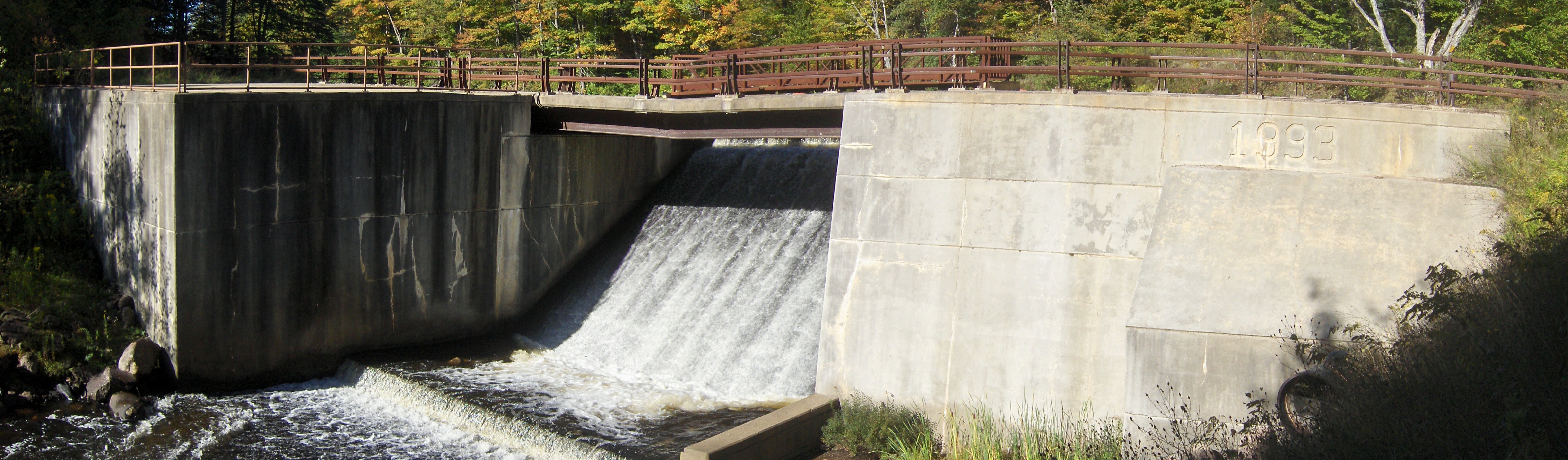
Lows Upper Dam
| CNY Hiking HOME PAGE | Northwest Adirondacks | Hiking in St Lawrence County |