Auto Tour
Road
![]()
| National Parks & Historic Sites | Saratoga National Battlefield | Wilkinson Nat'l Rec Trail | Saratoga Monument/Victory Woods |
|
Saratoga National Battlefield Auto Tour Road
|
A crucial battle was fought and won by the Americans here in the autumn of 1777 during the Revolutionary War that forever changed the face of the world. The most popular way to explore this historic park is via the tour road, however be sure to walk around along the well maintained trails from the numerous stops along the tour road. The auto tour starts near the visitor center at the parking area’s south end. It covers 10 miles and has 10 tour stops.
You can find more information on this great park from the National Park Service website. Look below for more info on the auto tour road including description of each stop, a few pictures, a video and a map of the park. We suggest that you plan your visit to the park to coincide with the Anniversary Encampment, around the middle of September, where dozens of individuals portray soldiers and camp followers from the American Army during the Battles of Saratoga.
Stop #1 - Freeman Farm Overlook: In 1777 the ground east of this open field was leased and farmed by John Freeman, a loyalist who went north and joined the British invasion force. The major fighting on September 19 took place on his farm. There, Morgan’s riflemen
opened the battle around noon by firing on the advance guard of Burgoyne’s center column from their posts near the Freeman House.Stop #2 - Neilson Farm: Before and after the battles John Neilson farmed these heights. He joined the American troops to oppose Burgoyne’s advance. Today his restored home looks much as it did when Generals Arnold and Poor used it for quarters in 1777. Posts outline the fortified American lines. Sites of Genera Gates’ headquarters and the American field hospital are about a half mile to the
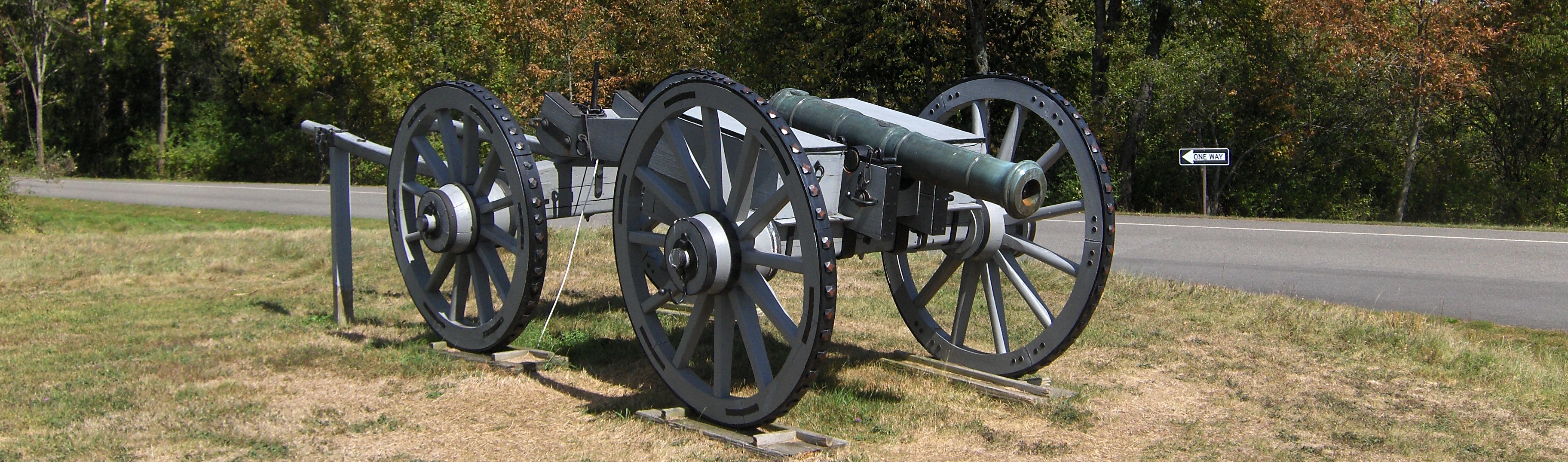
south.Stop #3 - American River Fortifications: Col. Tadeusz Kosciuszko, a Polish military engineer and volunteer in the patriot cause, directed construction of this powerful position. It proved key to American strategy against Burgoyne in 1777. Patriot infantry and cannon posted
here, supported by batteries along the near riverbank, closed off the Hudson Valley route to Albany and forced the British to attempt to attack the American line at the summit on September 19.Stop #4 - Chatfield Farm: An American outpost on this ridge, the site of Jessie Chatfield’s farm in 1777, spotted the British movement toward the Barber Farm on October 7. Middle Ravine lies beyond the ridge in front of you. American and British pickets exchanged musket and rifle shots across the ravine just before the second battle began.
Stop #5 - Barber Wheatfield: Here and in the field farther west (beyond the first row of trees) on October 7 the Americans intercepted the 1,500 British and German soldiers advancing southwest in an attempt to reconnoiter the American left. After an hour of fierce fighting, Burgoyne’s troops retreated to fortifications on Freeman Farm. British Gen. Simon Fraser was mortally wounded while trying to rally his men northeast of here.
Stop #6 - Balcarres Redoubt (Freeman Farm): This was a log-and-earthen work stretching about 375 yards long. Named for Lord Balcarres, commander of British light infantry, this was the strongest fort built by the British following the September 19 battle. On October 7 the British flanking column withdrew here after being driven from the Barber Farm. The redoubt is outlined by posts.
Stop #7 - Breymann Redoubt: This is outlined by posts, was a single line of breastworks about 100 yards long and seven to eight feet
high. It guarded the British right flank as well as the road to Quaker Springs. It was named for Lt. Col. Heinrich Breymann, whose German troops were stationed here. Nearby Boot Monument commemorates Benedict Arnold’s leg wound, received here just as Americans captured the position.Stop #8 - Burgoyne’s Headquarters: The path here leads to the site of Burgoyne’s headquarters. At the time of the battles it consisted of large marquees or tents. Set up after the action of September 19, it was the center of British command and camp life between the two battles. Burgoyne chose the location because of a nearby spring.
Stop #9 - The Great Redoubt: This was the strongest of three hilltop forts built by the British along bluffs overlooking the river. It
guarded their hospital, artillery park, Indian and American loyalist camps, food stocks, boats, refugees, and floating bridge. Burgoyne withdrew his army to this vicinity during the night of October 7.Stop #10 - Fraser Burial Site and Trail: This one mile loop trail passes the traditional site of the grave of General Fraser, who was mortally wounded during the second Battle of Saratoga. Beyond the gravesite, the trail continues to the sites of the British hospital, artillery park, baggage area, and Tayler House, where Fraser died. (Parts of the Old Champlain Canal may also be seen along the trail.) Note: This loop trail is fairly steep. Persons with physical limitations should take this into consideration before using it.
Directions: The GPS coordinates for the main visitor center at Saratoga National Battlefield is N43 00.763 W73 38.966 for those who have a GPS devise. There are two entrances, one off NY 32 and the other off US 4, however both entrances lead to the visitor center. The park is located 30 miles north of Albany. Get more information on directions from the main NPS website.
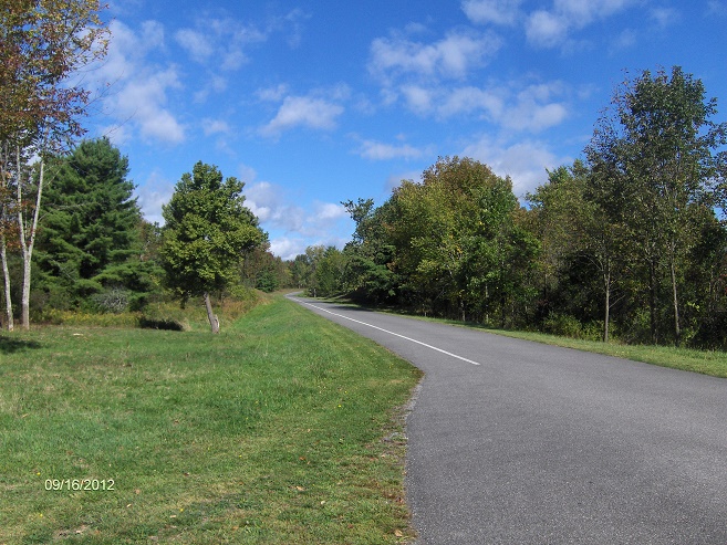
Auto Tour Road near the Morgan Monument
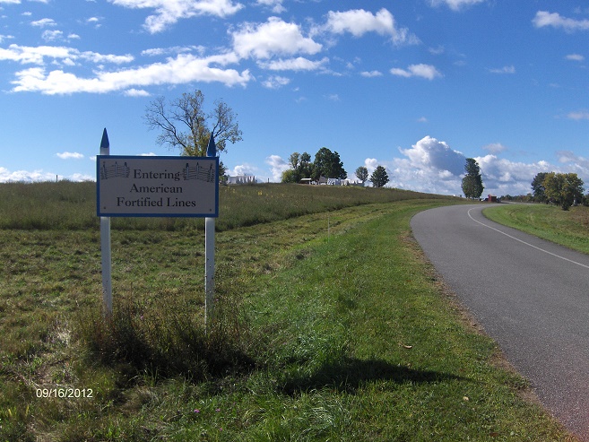
Entering American Fortified Lines along the tour road

| National Parks & Historic Sites | Adirondack Park | New York State Parks |