New York State Parks
Mine Kill
![]()
| CNY Hiking HOME PAGE | New York State Parks | Hiking in Schoharie County | Catskill Park |
|
New York State Parks Mine Kill
|
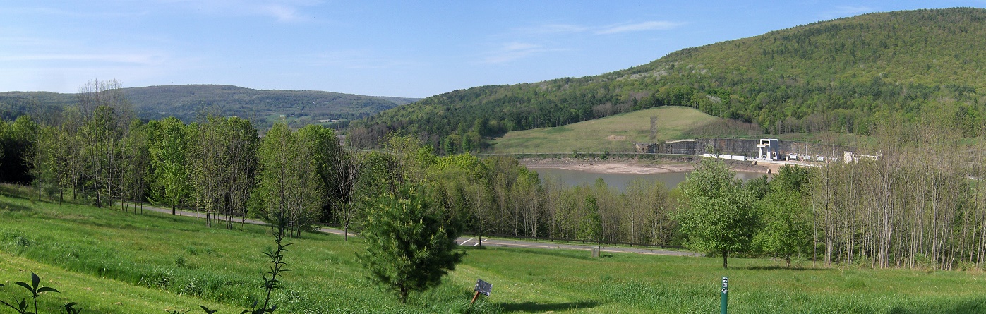
Located in the scenic Schoharie Valley, Mine Kill State Park overlooks the NY Power Authority's Blenheim-Gilboa Pumped Storage Power Project. The Blenheim-Gilboa Visitors Center is open to the public free of charge and is located just south of the park.
The park contains a modern aquatics facility featuring an Olympic sized swimming pool with separate wading and diving pools. Other activities include hiking and mountain biking on nearly eight miles of trails that travel through the park.
Cascading 80 feet through a narrow gorge is the picturesque Mine Kill Falls for which the park is named. A separate parking area, 1/4 miles south of the parks' main entrance, provides access to the overlook viewing platforms, as well as the Long Path hiking trail to the lower falls and beyond. There are over three miles of the 350+ mile Long Path trail that can be hiked in the park.
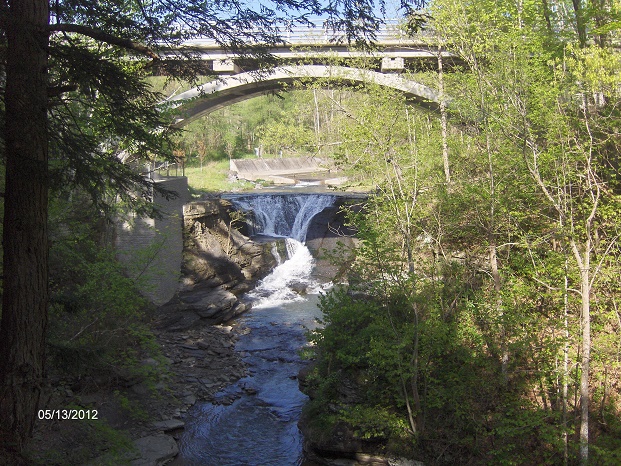
Mine Kill Falls and the NY 30 bridge
Check out the NY State Parks website for more information on Mine Kill State Park. The park website also has a real nice Park Trail Map. Look below for some information on the hiking trails in the park.
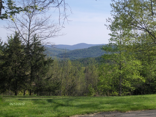
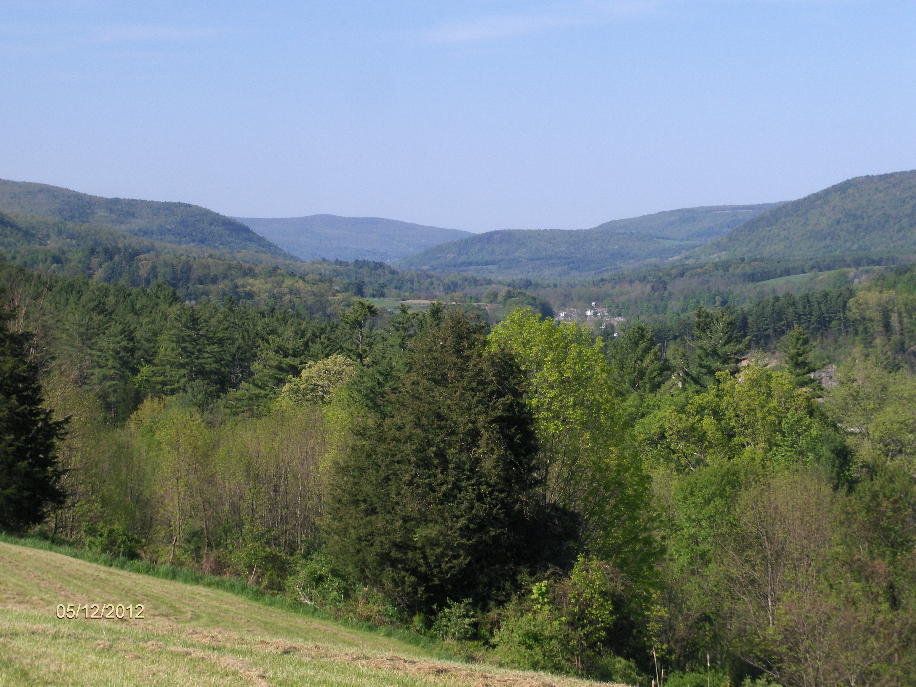
View from Mine Kill State Park
Hiking Trails in Mine Kill State Park
Long Path (3.6 miles) - The 350+ mile trail travels into the park from the south, follows Mine Kill Creek passing near the scenic waterfalls. The trail leaves the park traveling to the NYPA Visitor Center as it continues on its journey north.
Red Nature Trail (0.4 miles) - A short park nature trail that can be a loop using a park service road.
Orange Nature Trail (1.3 miles) - This trail branches off the Red Nature Trail for those looking for a longer nature hike in the park and travels to the Long Path.
Yellow Trail (0.9 miles) - Leaves the lower parking area near the reservoir with an access trail to the water. The trail climbs away from the reservoir, passing a nature trail before ending at the Long Path.
Old Long Path (0.2 miles) - As the trail name states, this is the old Long Path near Mine Kill Falls.
Nature Trail (0.2 miles) - This nature trail is located north of the main park and travels from the Yellow Trail to the Long Path.
Blue Trail (0.8 miles) - This ski trail travels parallel to NY 30 from the parking area at the NYPA parking area in the north to the Long Path in the south. This trail creates a nice loop hike with the Long Path.
View from the NY Power Authority Visitor Center just south of the park on NY 30
| CNY Hiking HOME PAGE | New York State Parks | Hiking in Schoharie County | Catskill Park |