High Tor
Blue Trail
![]()
| CNY Hiking HOME PAGE | Bristol Hills Trail | Bristol Hills Trail in Hi Tor | High Tor WMA | Hiking in Yates County |
|
Hiking in High Tor WMA High Tor Blue Trail
|
The Hi Tor Blue Trail is a major trail running north to south through Hi Tor Wildlife Management Area. It is 4.6 miles long one way and runs through the very popular Conklin Gully. It crosses the Bristol Hills Trail a few times and even follows the BHT for 0.6 miles. This gives hikers different "loop hike" options. Both the Blue Trail and Bristol Hills Trail are part of the 900+ mile Finger Lakes Trail System.
A very popular out and back hike is to do the Blue Trail from the DEC Parking area off Shay Road to the Lean To and then back. This is a 1.1 mile hike to the lean to with an elevation gain of nearly 600 feet. This allows you to see both the Conklin Gully overlook and the view from the lean to of Canandaigua Lake. Total hike of 2.2 miles. Look below for a video of this hike.
WARNING: Sections of the Blue Trail follow close to DANGEROUS CLIFFS.
Look below for a few pictures of the Blue Trail, a video, map and description of this trail. The GPS coordinates for the parking area off Parish Hill Road are N42 38.078 W77 21.449.
Rules and regulations for the use of the area are posted adjacent to most of the parking areas. Some rules include any camping at High Tor WMA is restricted and requires a permit from the DEC. The DEC only allows camping there during the months of March, April, and June-September, and they only issue permits to organized groups such as scout troops, hiking clubs, etc. Contact the NY DEC for more info.
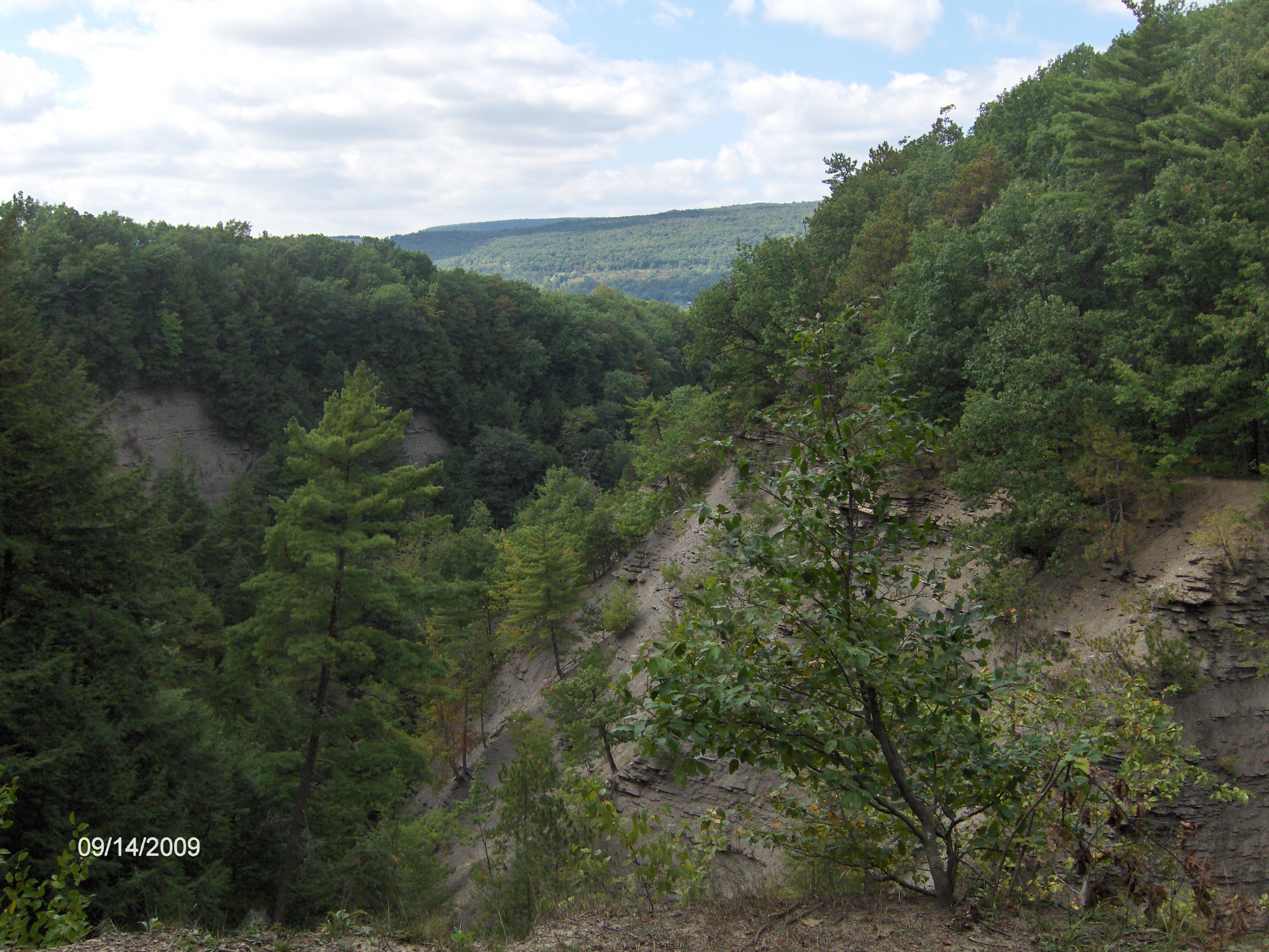
Blue Trail near parking area off Parish Hill Road
Conklin Gully
Mile Elevation Description of Blue Trail from north to south 0.0 1058 ft From the DEC parking area on Shay Road, 0.1 mile south of Parish Hill Rd. Follow the Blue Blazes past gate.
0.3 1064 ft Cross stream in Conklins Gully.
0.5 1063 ft View of Conklins Gully from cliff side overlook.
0.9 1404 ft Junction with the orange blazed Bristol Hills Trail. The BHT briefly follows Blue Trail before turning left.
1.1 1539 ft Lean To & Outhouse. Views of Canandaigua Lake. Junction of two other DEC Trails.
1.3 1511 ft Cross the orange blazed Bristol Hills Trail
2.5 1438 ft Turn left. Trail now follows with the orange blazed Bristol Hills Trail.
3.1 1843 ft Trail leaves the Bristol Hills Trail. Turn right following wide road.
3.4 1872 ft Pass pond on left
3.5 1858 ft Trail leaves Hi Tor WMA. You are now on Private Property.
3.85 1743 ft Trail veers left.
4.1 1744 ft Begin descending, soon pass Lean-to.
4.45 1460 ft Pass pond and home.
4.6 1417 ft Reach Fraley driveway and East Hill Rd. Parking.

| CNY Hiking HOME PAGE | Bristol Hills Trail | Hi Tor WMA |