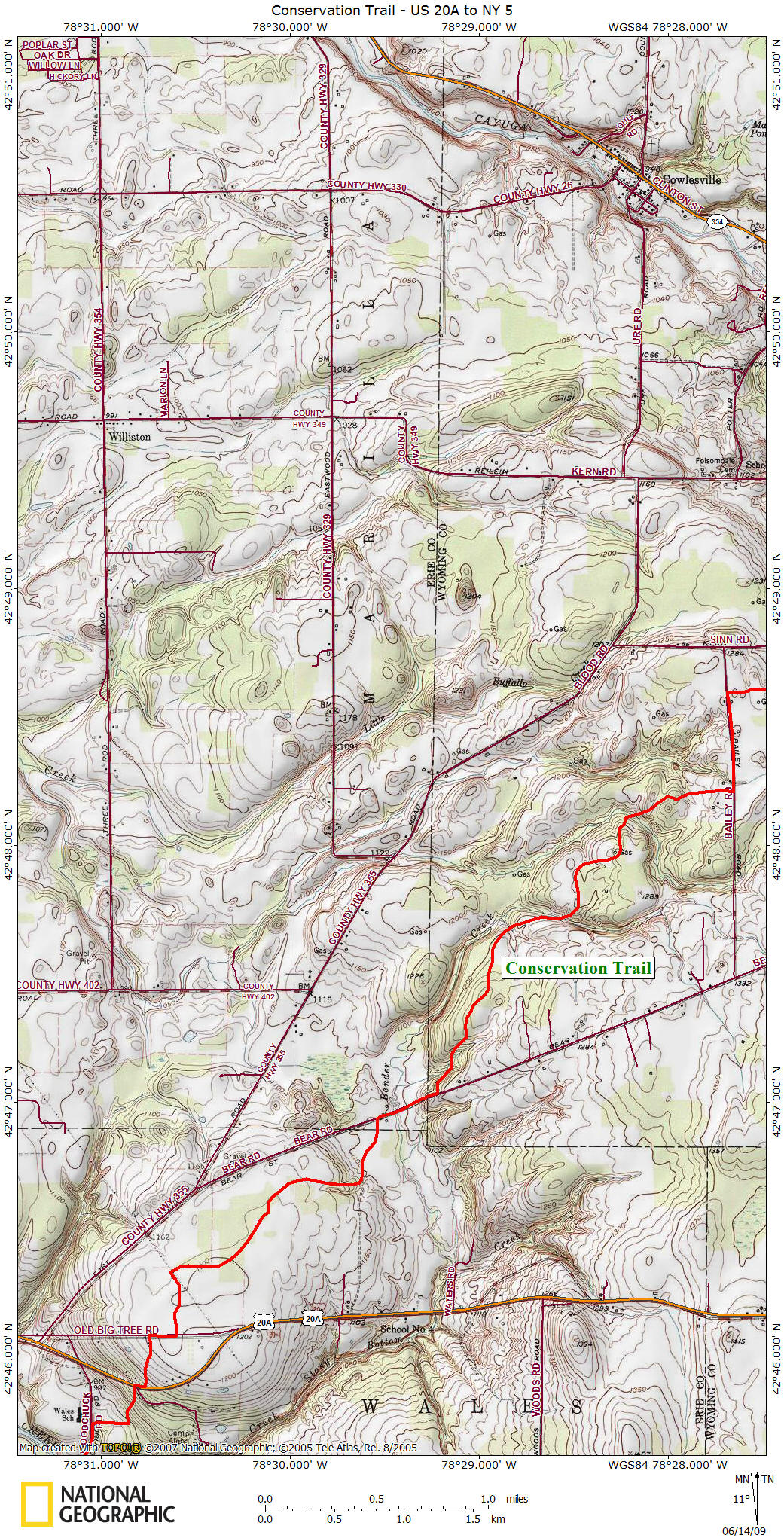
Conservation Trail
US 20A to NY 5
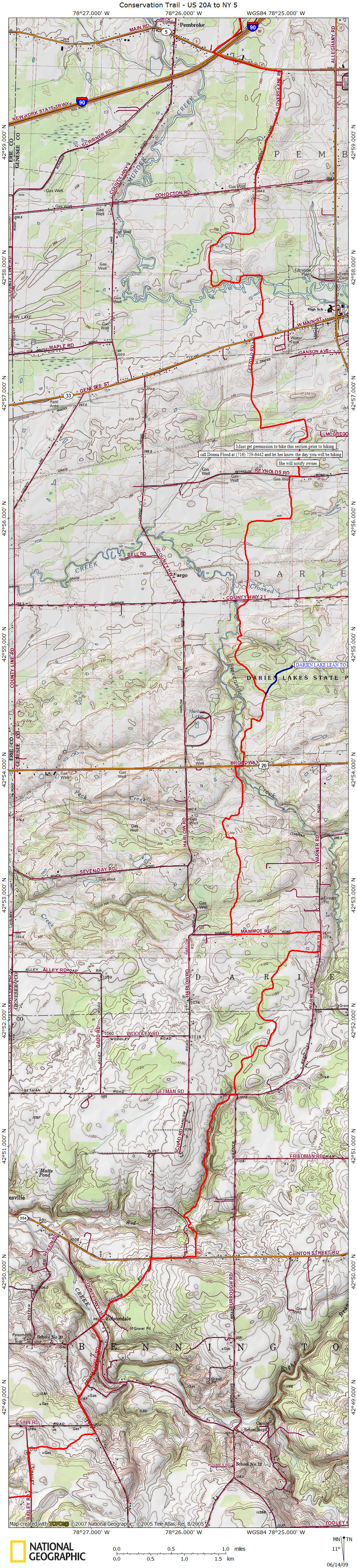
From the FLTC --> 4/13/2010 FLTC Map CT7 ---> Due to winter logging, about 1/4 mile of the trail between Access 8 (NY 354) and Access 9 (Getman Rd.) has been damaged. The logging is about 1/2 mile north of NY 354 near Red Brook. You can get around the logging damage by following orange flagging tape bearing northwest uphill then north, then east back to Red Brook. It is anticipated that the trail will be restored to its previous location over the summer.
This section of the Conservation Trail begins off US 20A at Camp Aloha. The trail follows US 20A east for 250 feet before turning left off the road and into the woods. The trail briefly follows old US 20A before going back off road along the edge of a field. This next two mile section of trail up to Bear Road is CLOSED for HUNTING from Nov 1 to Dec 22.
Bear Road (picture courtesy of Kirk Doyle)
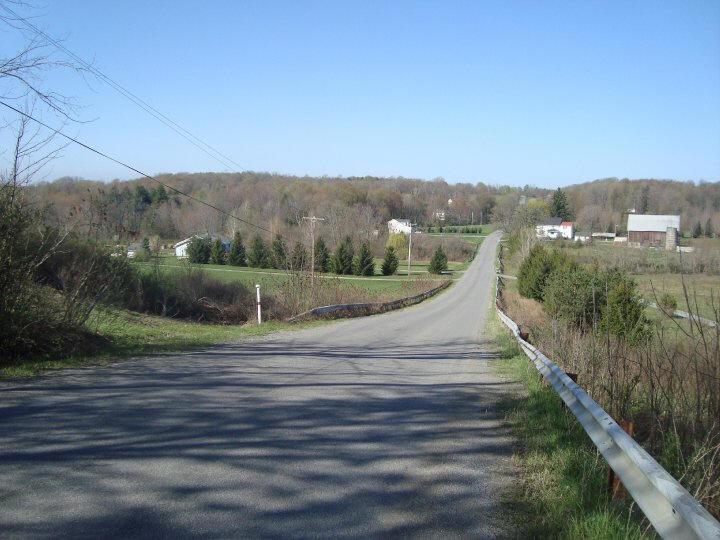
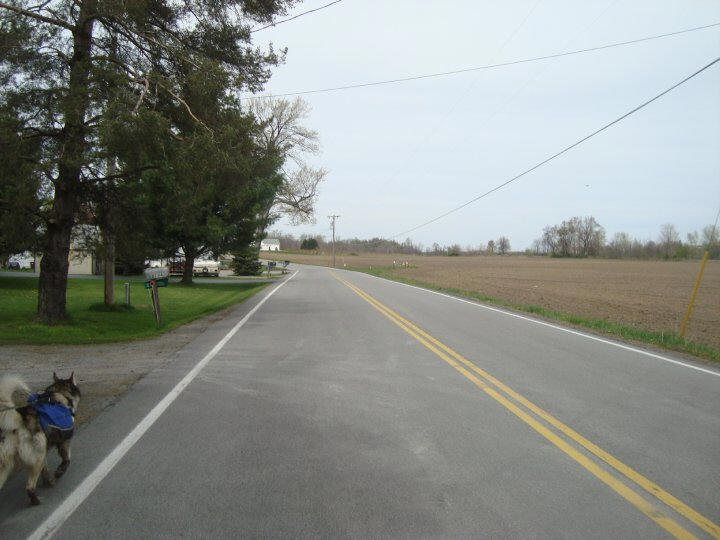
The trail turns right onto Bear Road and follows the road for 0.4 mile before turning left into the woods (as of 10/2012 this off road section was CLOSED). From the FLTC -> "Due to loss of landowner permission, the Conservation Trail between Bear Road (AP-5) and Bailey Road is now closed. Hikers are advised to use Bear Rd. 1.4 miles NorthEast from AP5 to Bailey Rd., and then North on Bailey Rd. 1.2 miles to the AP6 trailhead until further notice". Bailey Road and turns left following the road for 0.4 miles before turning right along a hedgerow. There is a junction with a 0.9 mile long blue blazed nature trail that dead ends to the south. Soon the trail reaches County Route 35 and now you'll have 1.2 mile road walk into the small hamlet of Folsomdale. The trail goes off road (straight) as the road turns left.
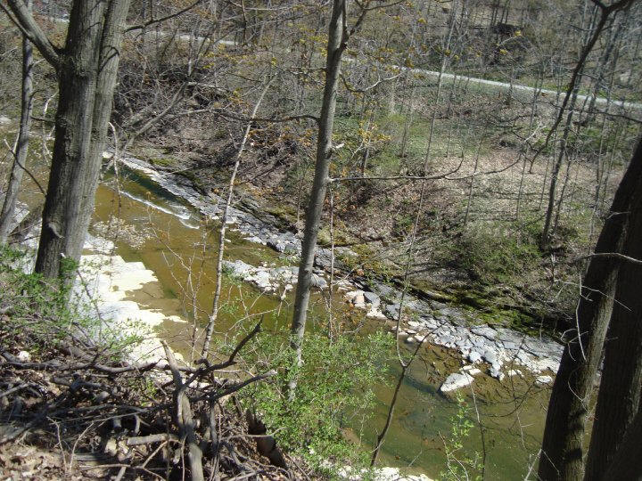
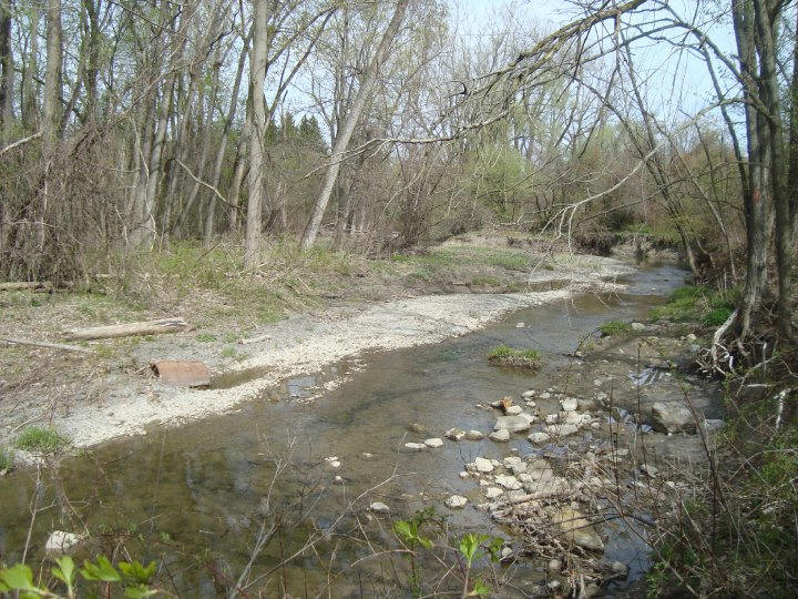
Cayuga Creek (picture courtesy of Kirk Doyle)
The next road walk is at NY 354 for 0.3 mile until you see the FLT trailhead sign. Follow the blazes carefully and you'll cross Red Brook on a metal bridge. The trail now follows Red Brook all the way to Getman road. The trail briefly follows Getman Road before turning left off road. In 2.1 miles the trail reaches Warner Road and turns left to follow road for 0.2 mile. Now turn left on Mammot Road and follow the road for 0.7 mile before turning right off the road into woods at a field edge.
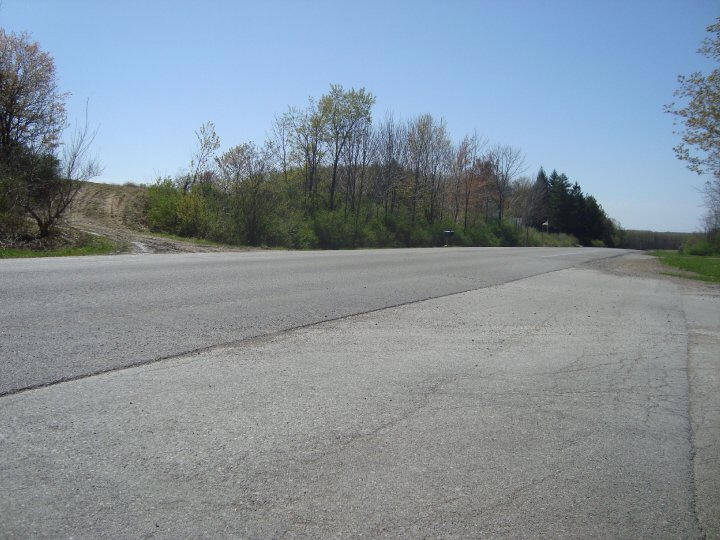
NY 354 (picture courtesy of Kirk Doyle)
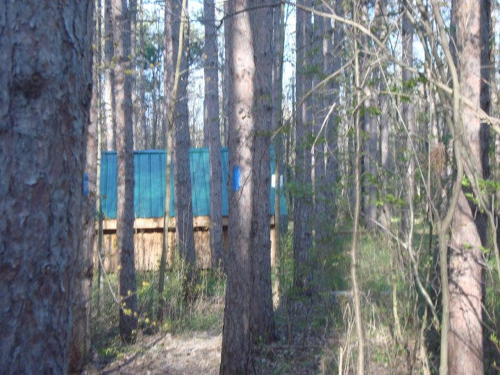
In 1.1 miles you will cross an active railroad track and then in another 0.5 mile reach very busy US 20 near Darien Lake State Park. Turn right, following US 20 briefly before turning left at parking lot entering Darien Lake State Park. There are camping sites as well as a lean to available in the state park. To get to the lean to, there is a 0.5 mile blue blazed trail that leads to the lean to.
Blue blazed trail leads to Darien Lake Lean To (picture courtesy of Kirk Doyle)
Darien Lakes State Park's terrain is hilly with woodlands, ravines, streams and 12-acre Harlow Lake. The park has a total of 158 campsites (equipped with electricity) with heated comfort stations and showers, a sandy beach, playgrounds, fishing for largemouth black bass, hiking and horseback riding trails, picnic areas and a rustic bridge over the lake channel to Picnic Island.
In winter, multiple-use trails are open for hiking, cross-country skiing and snowmobiling and a maintained and heated building for an outdoor skating rink. Click here for a pdf of Darien Lakes State Park Trail Map from the New York State Park website.
Eleven Mile Creek (picture courtesy of Kirk Doyle)
Darien Lakes State Park is the last or the first "legal" camping for those through hiking or backpacking on the Conservation Trail, whether your coming from Pennsylvania or from Canada. From here (or at least from NY 5) to Niagara falls the trail follows old railroad grades and bike trails.
After hiking 2.1 miles within Darien Lakes State Park, the Conservation Trail leaves the park and crosses Sumner Road. After crossing a creek, see if you can notice the old railroad grade that the trail goes over. It is amazing how many old railroad grades are out there and how many opportunities there are to create new exciting trails with these old railroad grades.
After reaching Reynolds Road, the trail briefly follows the road before reaching a section of the CT that one must receive permission prior to hiking. According to official trail maps and guides, the FLTC asks you call Donna Flood at (716) 759-6442 and let her know what day you plan to hike this 1.7 mile section. She will let the land owner know. This section includes a walk along the old Lehigh Valley Railroad (grade).
Following dirt drive from NY 33 (picture courtesy of Kirk Doyle)
After reaching NY 33 the CT turns right following the road very briefly before turning left on a gravel drive. In 0.9 mile cross Murder Creek on a farm bridge. Reach Cohecton Road and cross road following Lovers Lane for 1.2 miles to NY 5 and the end of this section.
Lovers Lane (picture courtesy of Kirk Doyle)
Some consider this the "true" end of the Conservation Trail as the trail now follows numerous old railroad grades and bike paths as it makes its way to Niagara Falls. It's still nearly 50 miles to Niagara Falls with really no "legal" spots to camp for those backpacking on the CT. The trail is nearly level the whole way to Niagara Falls.
Volunteers from the Foothills Trail Club built and maintain the Conservation Trail. The Foothills Trail Club was founded in 1962 by a few hikers and outdoors enthusiasts who wanted to build a trail from Allegany State Park to Lake Ontario. This is the Conservation Trail.
You can purchase official maps and guides directly from the Finger Lakes Trail Conference website. Look below for pictures, a map and a description of the trail.